
Lake Ram & Yafuri Valley Loop
Lowest point
Cumulative Ascent
Trail Type
Loop
Highest point
מעגלי
1116
Distance
9.73 km, 6.05 miles.
Difficulty Level
1/4


267
958
Cumulative Descent
Navigation File
267
Starting Point
End Point
Masade Nabi Yafuri
מסעדה ליד נבי יעפורי
Masade Nabi Yafuri
מסעדה ליד נבי יעפורי
Recommended Season
All Seasons
All Seasons
Trail Description
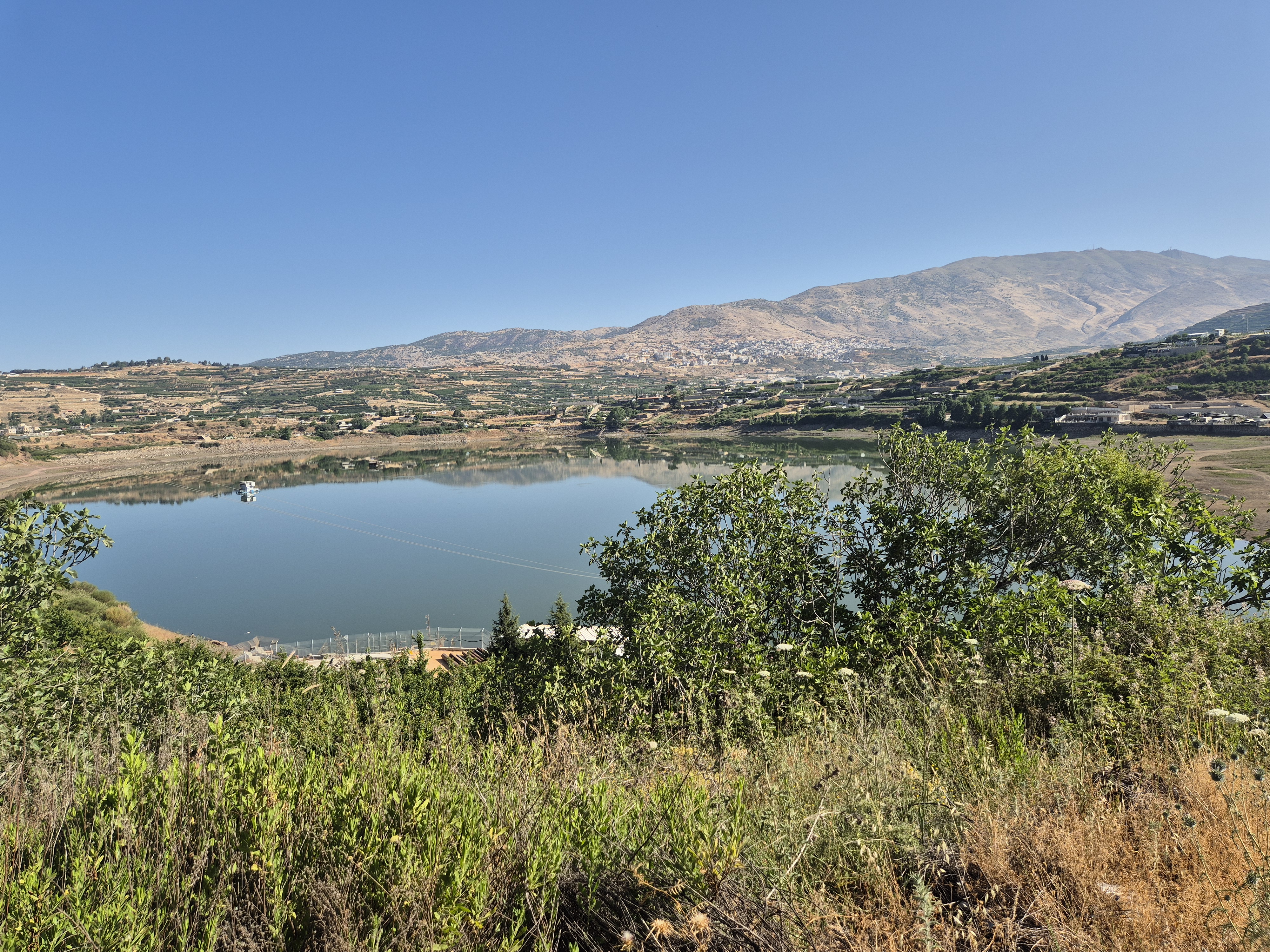
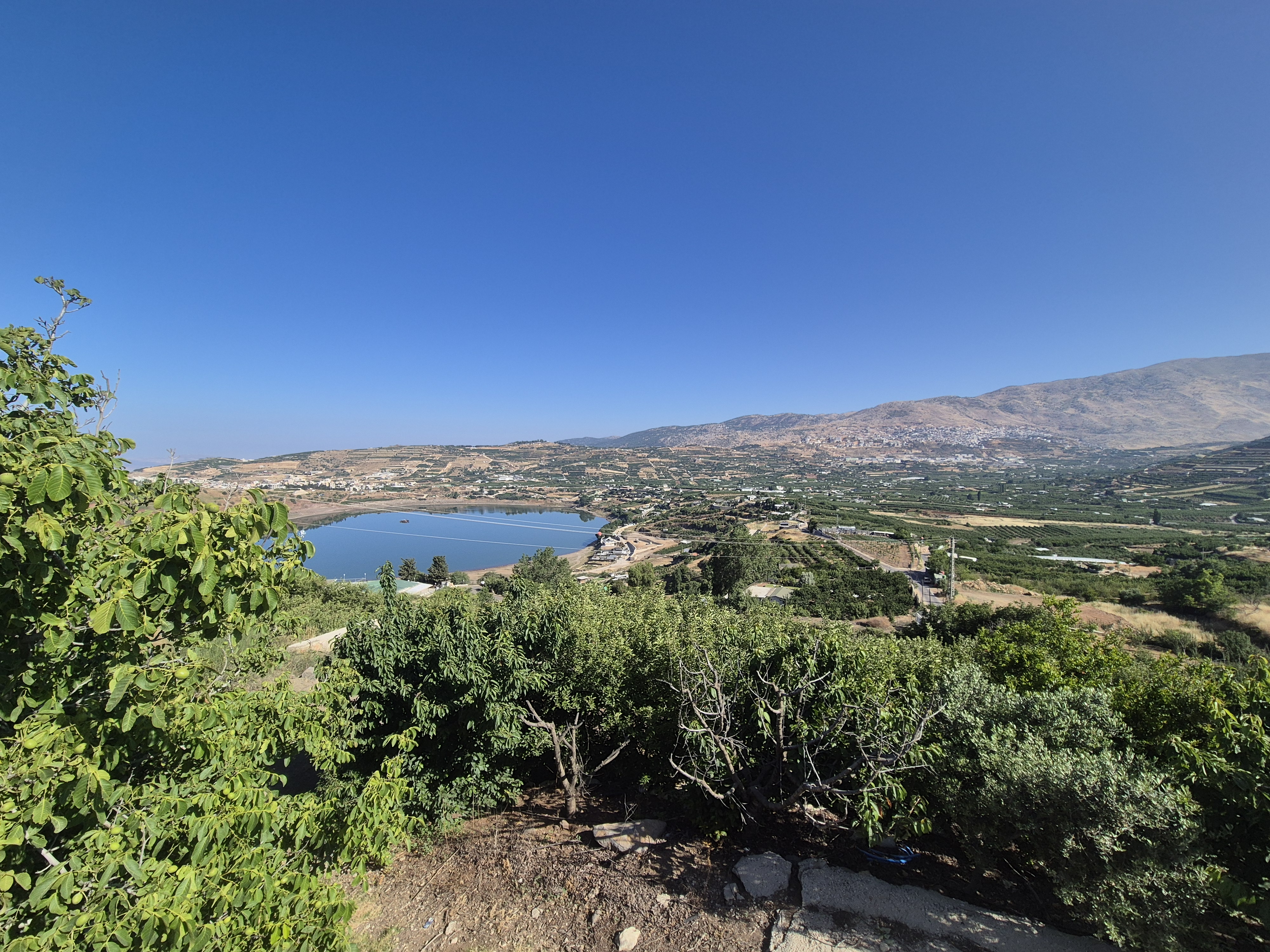
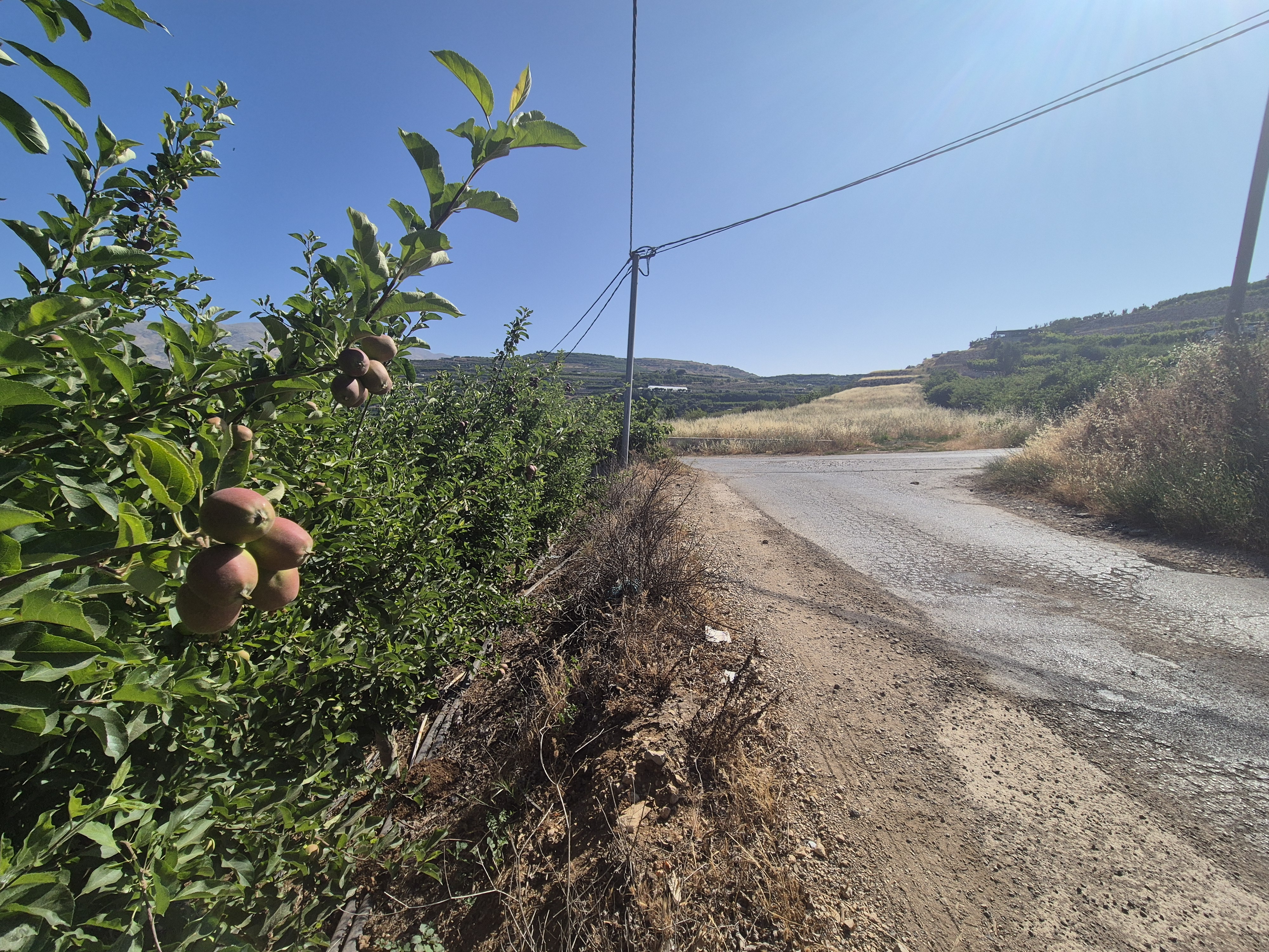
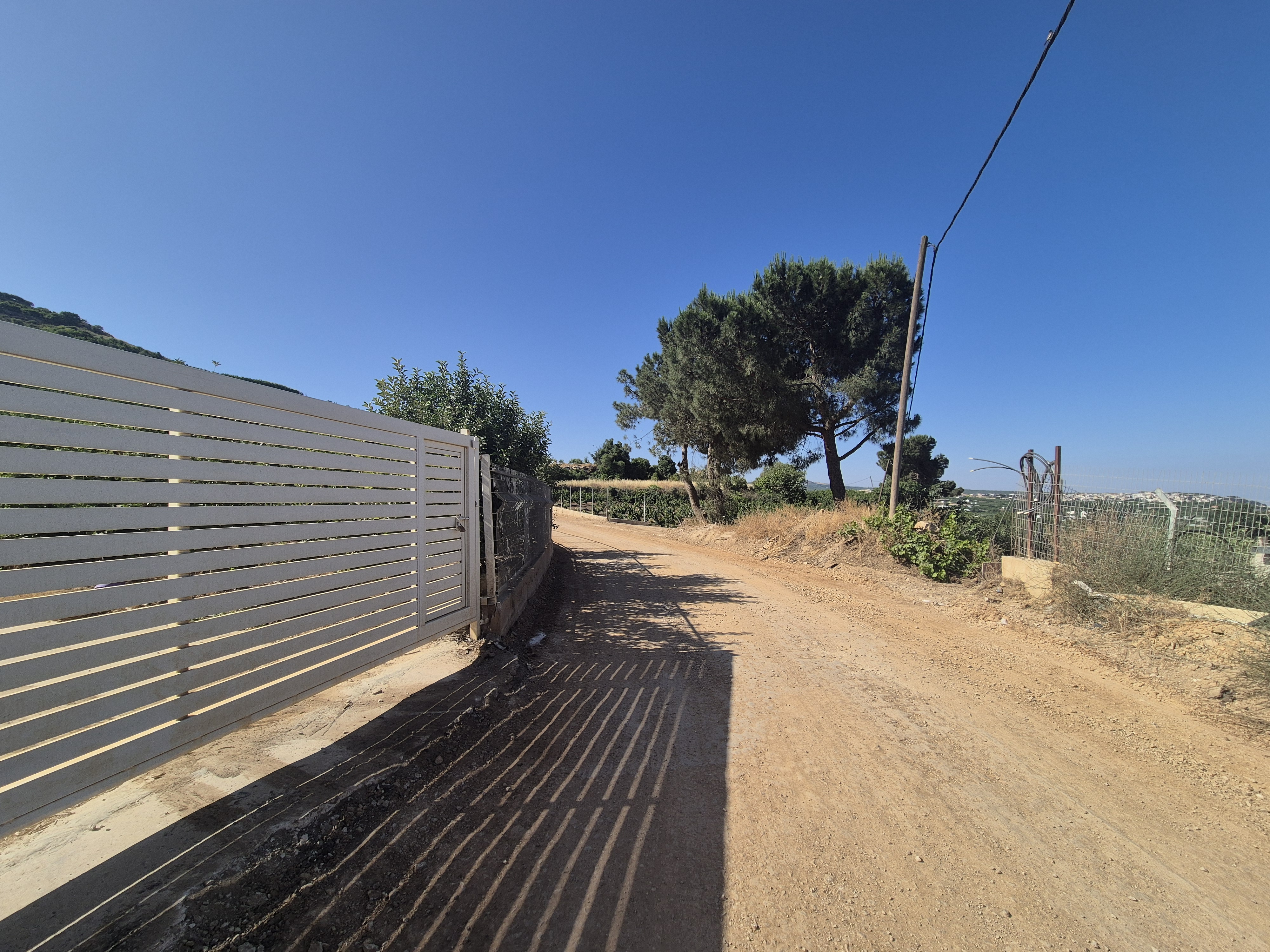
The route begins at the start of the promenade around Lake Ram (Birket Ram), not far from the tomb of Nabi Yaafur on the outskirts of Buq'ata. It combines paved roads and trails that pass through cherry and apple orchards, offering stunning views of Lake Ram, the Yaafuri Valley, Mount Hermon, Majdal Shams, Nimrod, Mount Ram, and more.
Some sections of the trail have vehicle traffic, so it is recommended to avoid listening to music while running and to stay alert to your surroundings.
The route is not easy and includes several steep and challenging climbs—during these sections, it is perfectly fine to switch to walking.

Avenir Light is a clean and stylish font favored by designers. It's easy on the eyes and a great go-to font for titles, paragraphs & more.
Avenir Light is a clean and stylish font favored by designers. It's easy on the eyes and a great go-to font for titles, paragraphs & more.
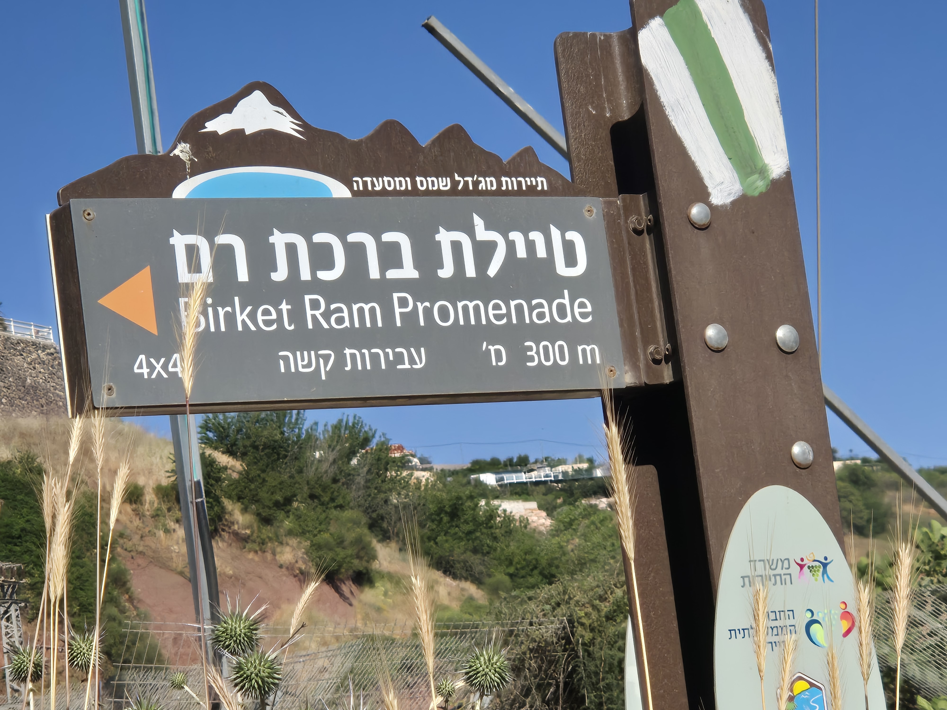
You run south along the Lake Ram promenade, with the lake on your right. After about 1.25 kilometers, you’ll reach a steep 300-meter ascent. This section can be quite challenging to run, so feel free to slow down, switch to walking, and take in the beautiful views around you.

You meet the Golan Trail and turn left onto a dirt road. There is a view of Lake Ram and Mount Hermon, and on the other side, of apple and cherry orchards. The Golan Trail is marked with white, green, and blue trail markers.
Avenir Light is a clean and stylish font favored by designers. It's easy on the eyes and a great go-to font for titles, paragraphs & more.
Avenir Light is a clean and stylish font favored by designers. It's easy on the eyes and a great go-to font for titles, paragraphs & more.
Avenir Light is a clean and stylish font favored by designers. It's easy on the eyes and a great go-to font for titles, paragraphs & more.
Avenir Light is a clean and stylish font favored by designers. It's easy on the eyes and a great go-to font for titles, paragraphs & more.
Avenir Light is a clean and stylish font favored by designers. It's easy on the eyes and a great go-to font for titles, paragraphs & more.
Avenir Light is a clean and stylish font favored by designers. It's easy on the eyes and a great go-to font for titles, paragraphs & more.
After 400 meters, you reach a junction and turn left with the Golan Trail, heading uphill.
After 700 meters, there is a sharp left turn leading to a descent that actually continues along the Golan Trail. Turn left again.
keep left
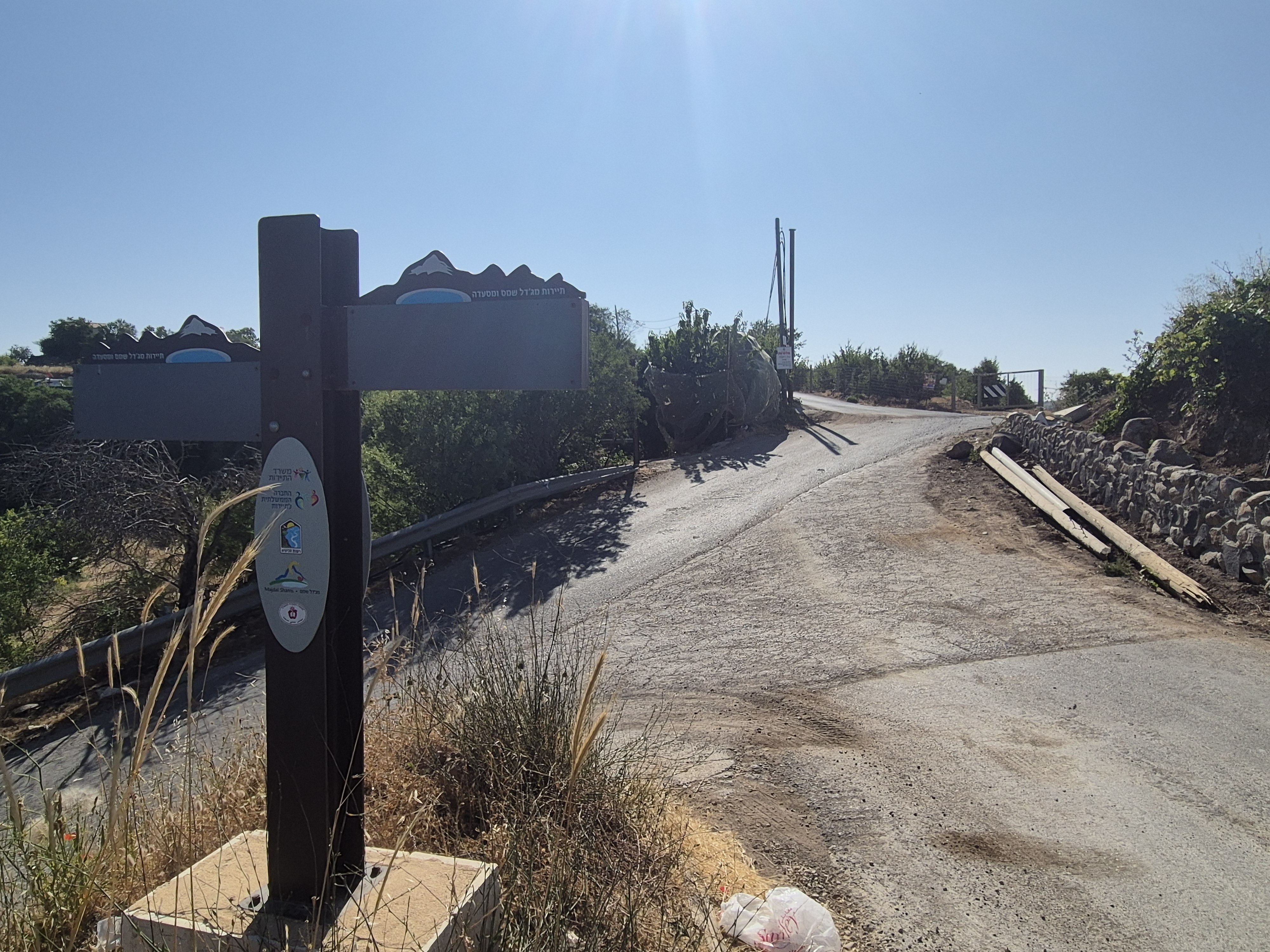
Turn right with the Golan Trail, which is marked with white, blue, and green trail markers.
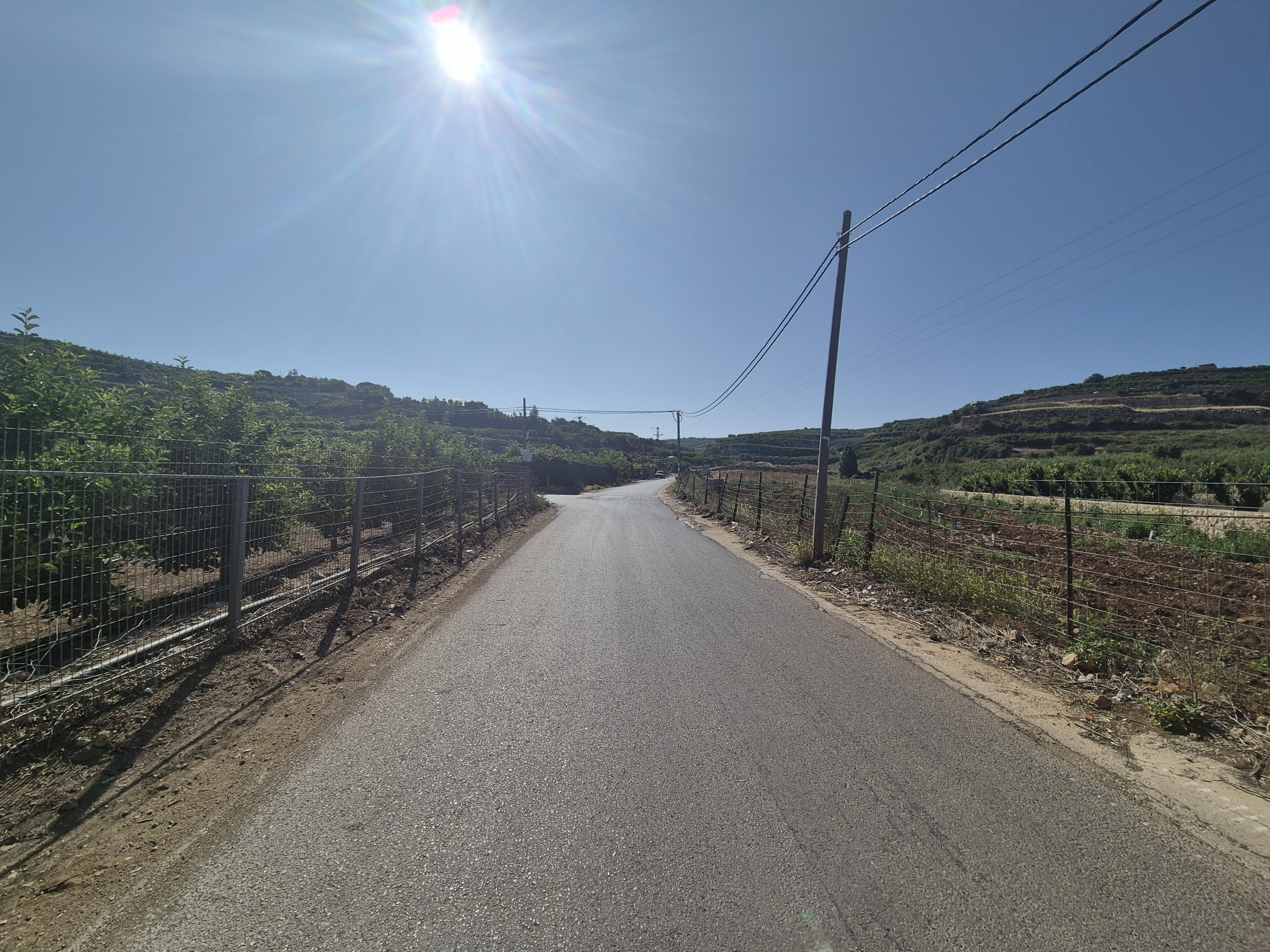
After 100 meters, turn left with the Golan Trail.
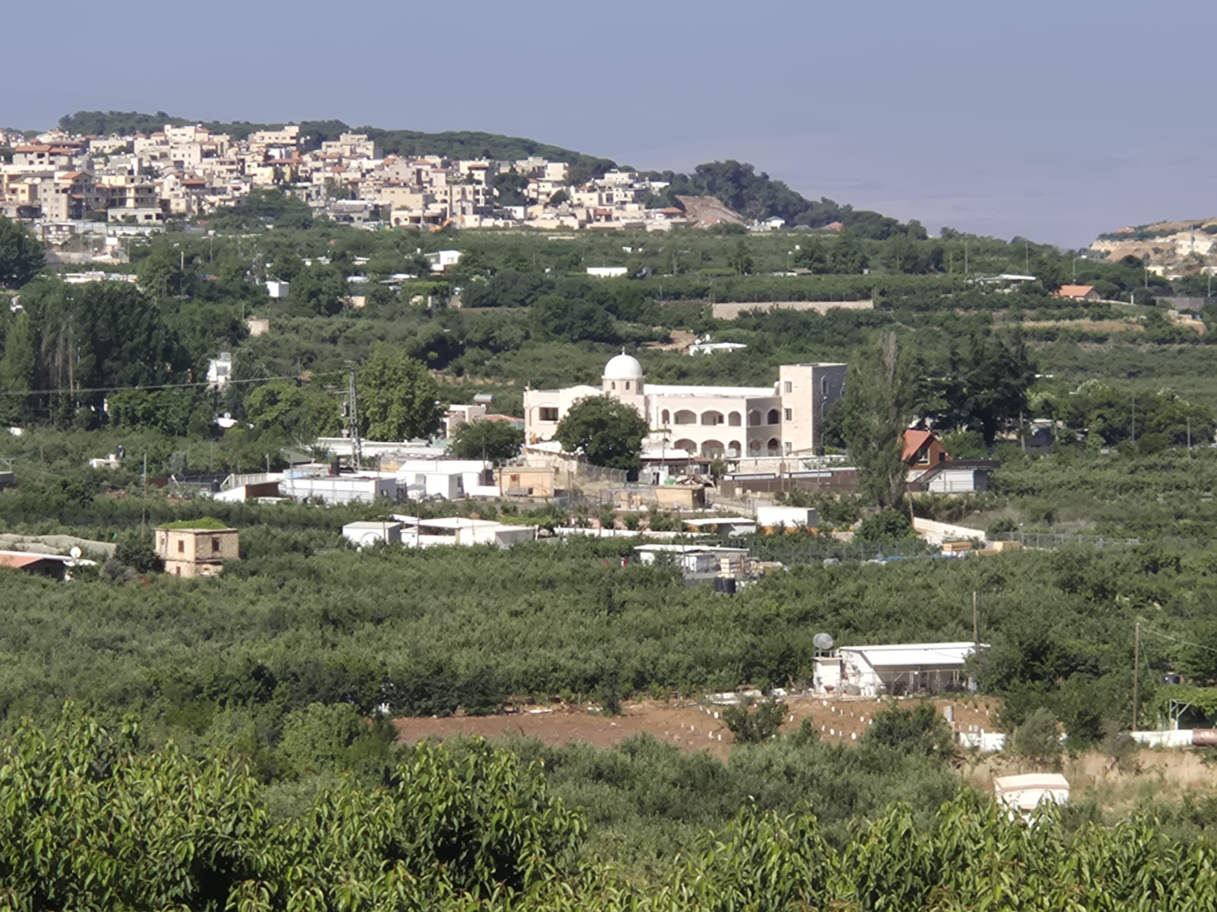
On the left, you’ll see the Yaafuri Shrine, the burial site of the Druze saint Yaafuri.
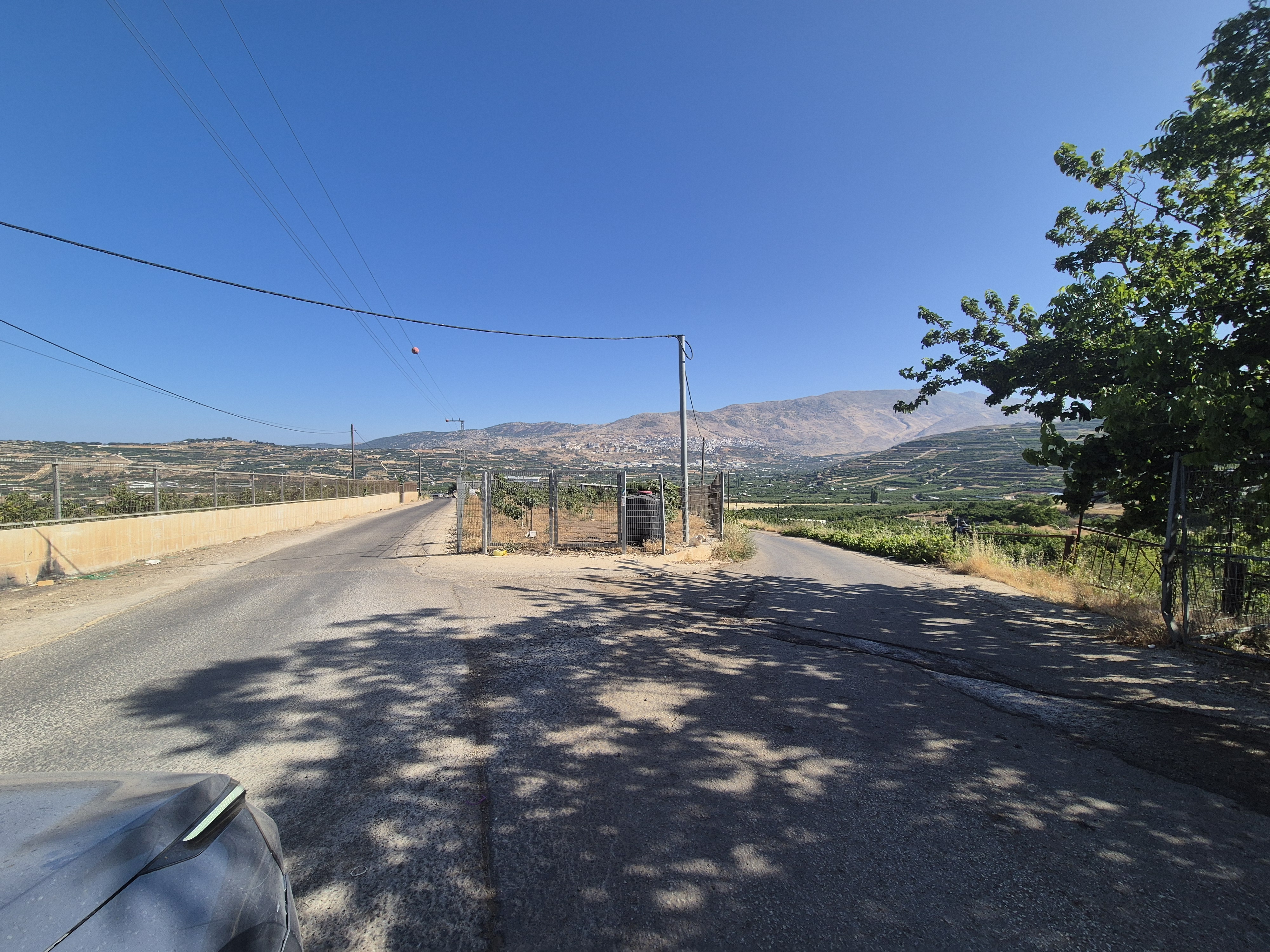
Ahead of you, you’ll see Mount Hermon and Majdal Shams, the largest Druze village in the Golan Heights.
After 1.4 kilometers, turn right onto the Golan Trail. Continue uphill for about 200 meters, leave the Golan Trail and turn right again. About 100 meters ahead, you’ll see a few pine trees — and at this point, the Yaafuri Shrine will be on your right.

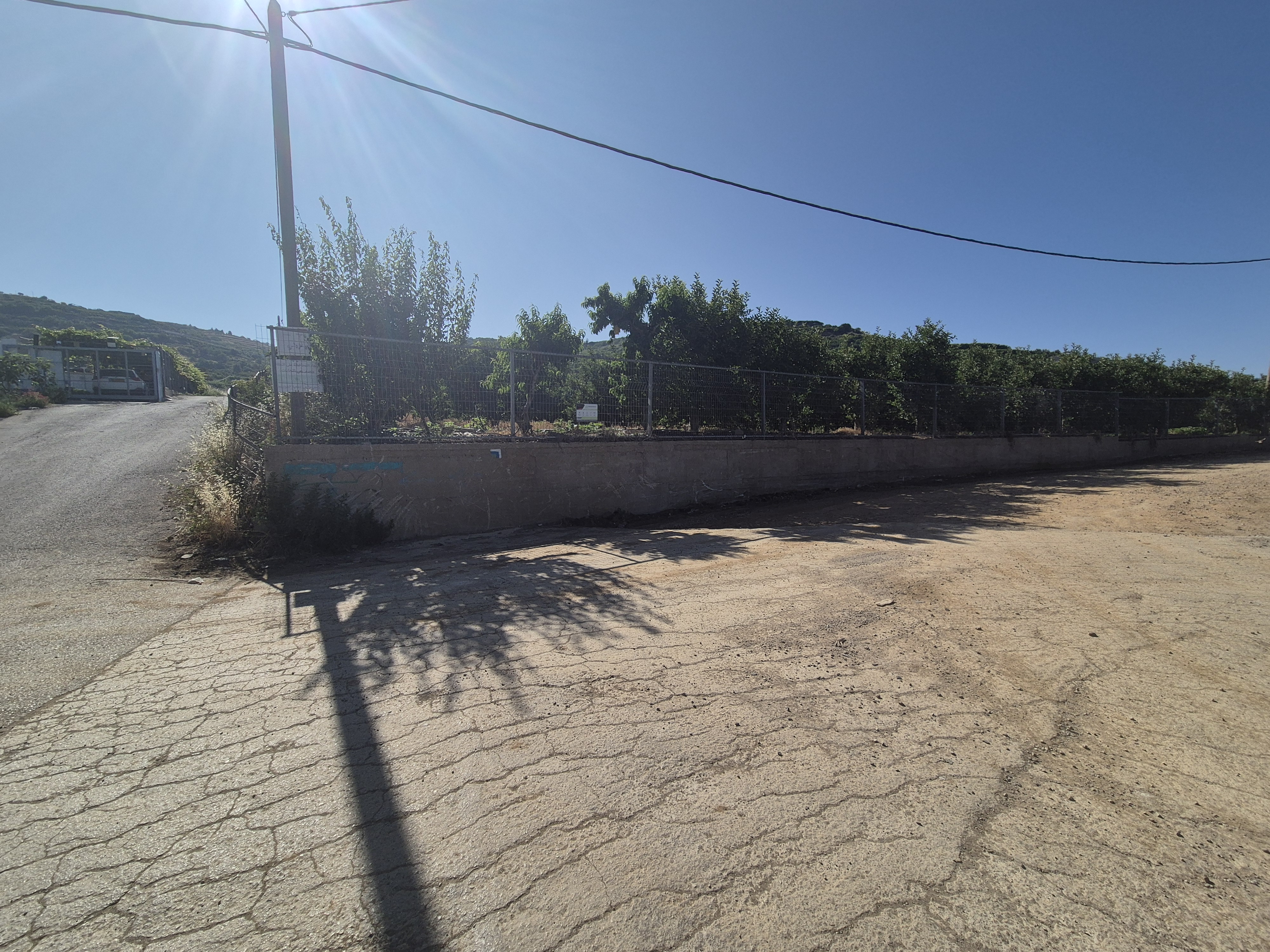
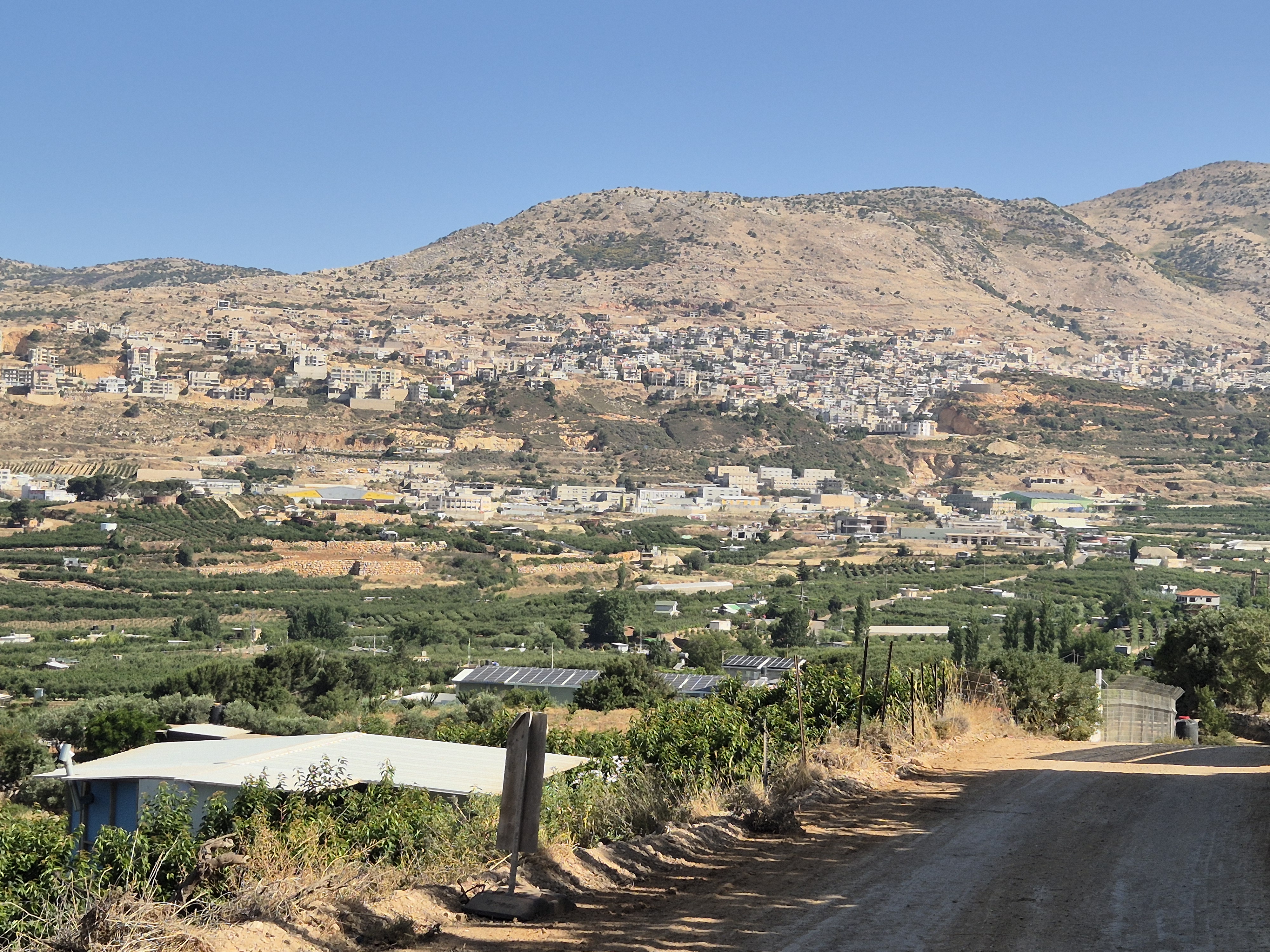
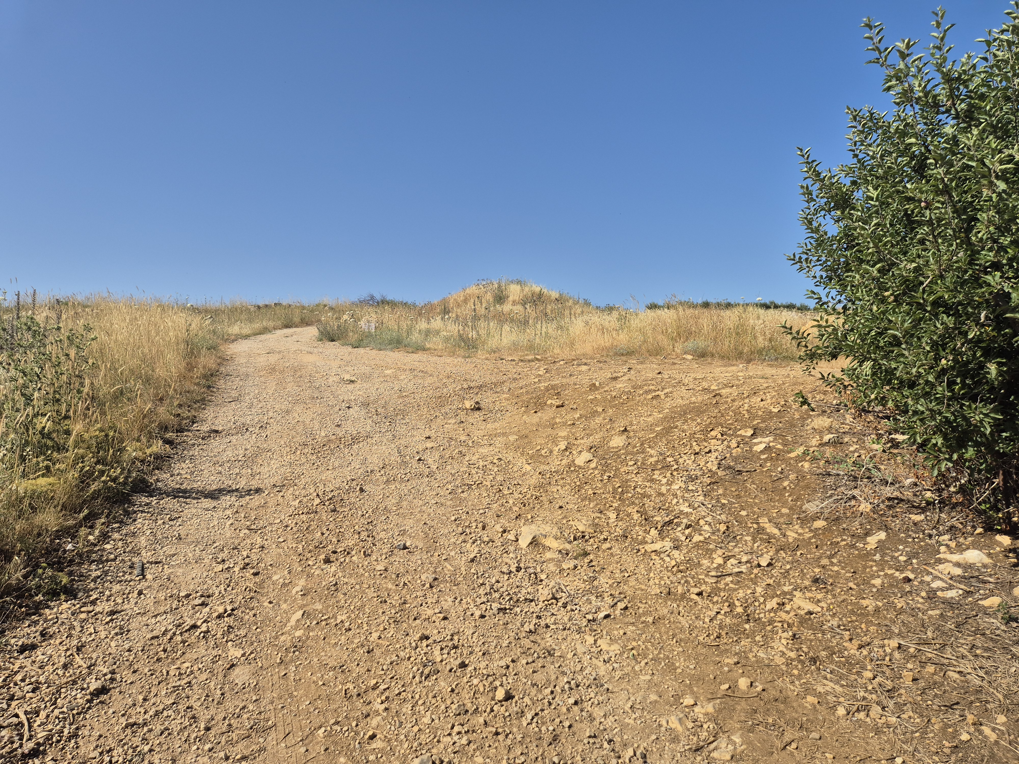
Run uphill in a generally eastward direction, between apple and cherry orchards. After 1.7 km, you will reach a junction—continue straight ahead. After another 500 meters, you will merge onto another road; continue straight (it may look like a left turn at first and then a right).

Run uphill on a dirt road until you reach the drop, then turn right.
Turn right at the end of the orchard and run 2.3 km downhill until you reach the starting point, which is also our end point.

Avenir Light is a clean and stylish font favored by designers. It's easy on the eyes and a great go-to font for titles, paragraphs & more.
Avenir Light is a clean and stylish font favored by designers. It's easy on the eyes and a great go-to font for titles, paragraphs & more.
Avenir Light is a clean and stylish font favored by designers. It's easy on the eyes and a great go-to font for titles, paragraphs & more.
Avenir Light is a clean and stylish font favored by designers. It's easy on the eyes and a great go-to font for titles, paragraphs & more.
Legal Notice
Use at the User’s Own Risk
Use of the Israel Trail Running website and app is entirely at the user's own risk.
The site owners, editors, and contributors do not guarantee the accuracy, completeness, or timeliness of the information presented.
Preparation and Verification
Do not begin any trail without first verifying safety conditions, security guidelines, weather, and terrain status with an official and reliable source.
It is the user's responsibility to verify all information and ensure that the area is open, safe, and not a closed military zone or active fire zone.
Trail Files and Descriptions
Trail descriptions and GPX files are theoretical only.
Some trails include life-threatening sections. Entering a trail is solely at the user's own risk.
Trails may change over time; only some have been field-verified.
Safety and Conduct
Carry appropriate gear and follow all safety rules.
Camping is only permitted in designated overnight campsites marked on official maps.
In nature reserves and national parks, movement is allowed only on foot or by vehicle on marked trails and roads.
No Recommendations
Nothing on this site constitutes a recommendation; the content is for informational purposes only.
The site team bears no responsibility for any damage, injury, or loss resulting from the use of the information.
שימוש באחריות המשתמש בלבד
השימוש באתר ובאפליקציית Israel Trail Running הוא באחריות המשתמש בלבד.
בעלי האתר, העורכים והכותבים אינם מתחייבים לדיוק, שלמות או עדכניות של המידע המוצג.
הכנה ואימות
אין לצאת למסלול מבלי לבדוק תחילה מול מקור מוסמך את תנאי הבטיחות, ההנחיות הביטחוניות, מזג האוויר ומצב השטח.
באחריות המשתמש לאמת את כל המידע ולוודא שהאזור פתוח, בטוח, ואינו שטח צבאי סגור או שטח אש פעיל.
קבצי מסלול ותיאורים
תיאורי המסלולים וקבצי GPX הם תיאורטיים בלבד.
חלק מהמסלולים כוללים קטעים מסכני חיים. היציאה למסלול היא באחריות המשתמש בלבד.
מסלולים עשויים להשתנות עם הזמן; רק חלקם נבדקו בשטח.
בטיחות והתנהלות
יש לשאת ציוד מתאים ולפעול לפי כללי הבטיחות.
לינה בשטח מותרת רק בחניוני לילה מוסדרים המסומנים במפות הרשמיות.
בשמורות טבע וגנים לאומיים מותר לנוע רק ברגל או ברכב בשבילים ובדרכים מסומנים.
אין המלצות
שום דבר באתר זה אינו מהווה המלצה; התוכן נועד למטרות מידע בלבד.
צוות האתר אינו נושא באחריות לכל נזק, פציעה או אובדן שייגרמו כתוצאה מהשימוש במידע.