
Twin Volcano Loop
Lowest point
Cumulative Ascent
Trail Type
Loop
Highest point
מעגלי
1124
Distance
13.3 km, 8.26 miles.
Difficulty Level
1/4


383
947
Cumulative Descent
Navigation File
383
Starting Point
End Point
Merom Golan
מרום גולן
Merom Golan
מרום גולן
Recommended Season
All Seasons
During the summer months, it is recommended to start the trail in the early morning hours, before temperatures rise — or alternatively, in the late afternoon when the weather becomes more pleasant.
Note: The trail is fully exposed to the sun with no shaded areas, so it’s important to come prepared — with water, a hat, sunscreen, and appropriate clothing.
Trail Description
Circular Running Trail – Merom Golan, Mount Bental & Mount Avital
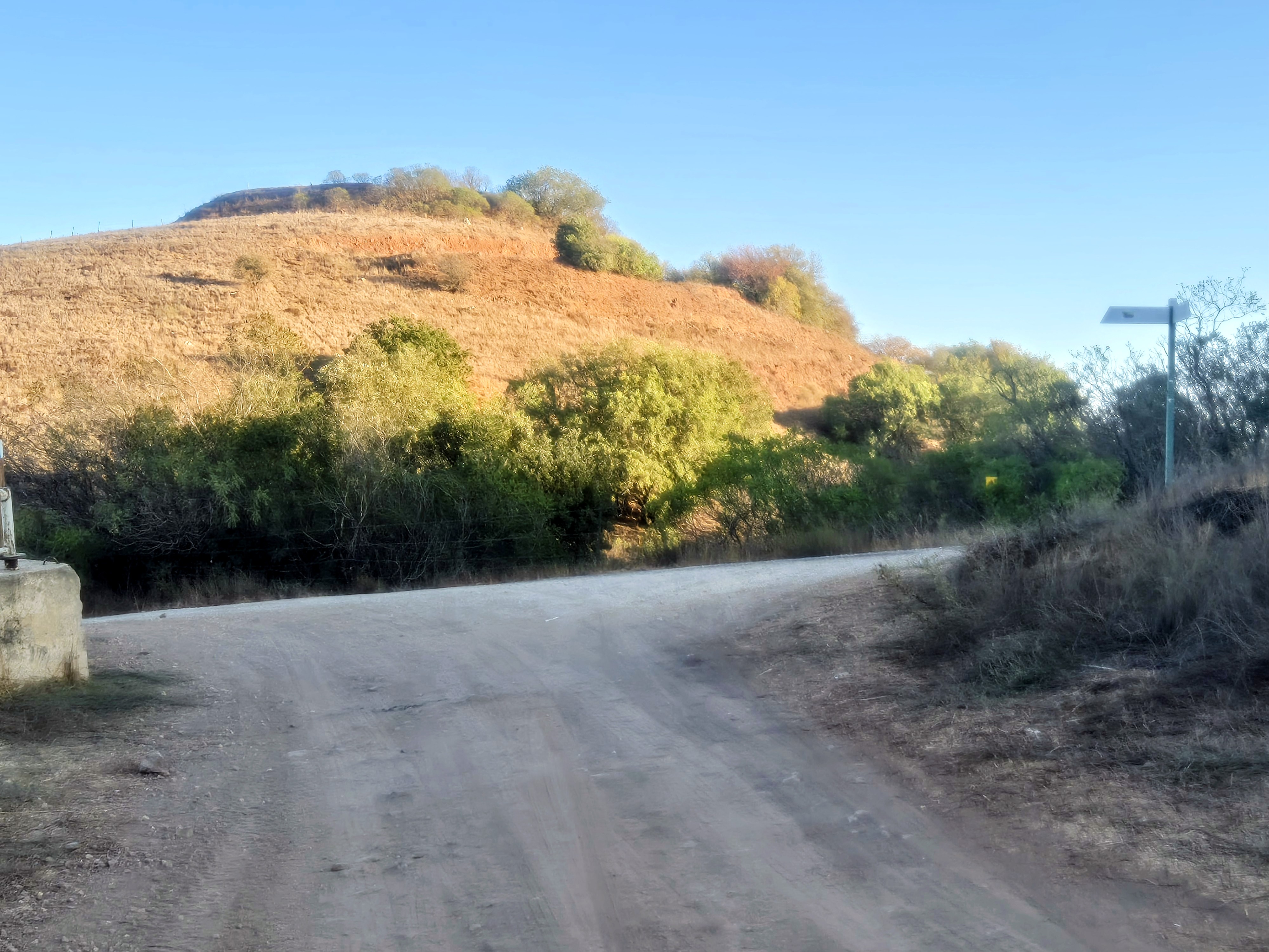
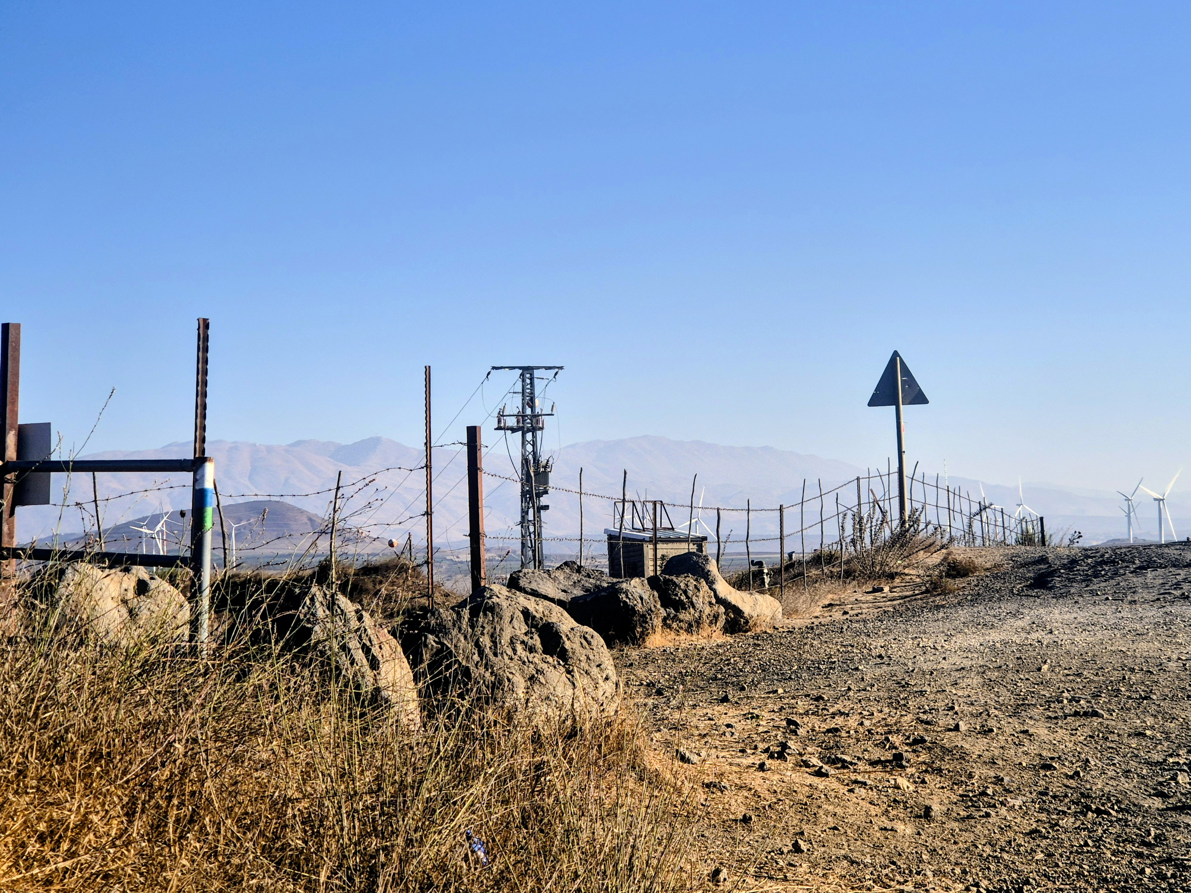
This circular trail begins at Kibbutz Merom Golan and connects to the Golan Trail (marked in green, blue, and white), near the Bental water reservoir. The trail passes through volcanic landscapes and offers impressive viewpoints.
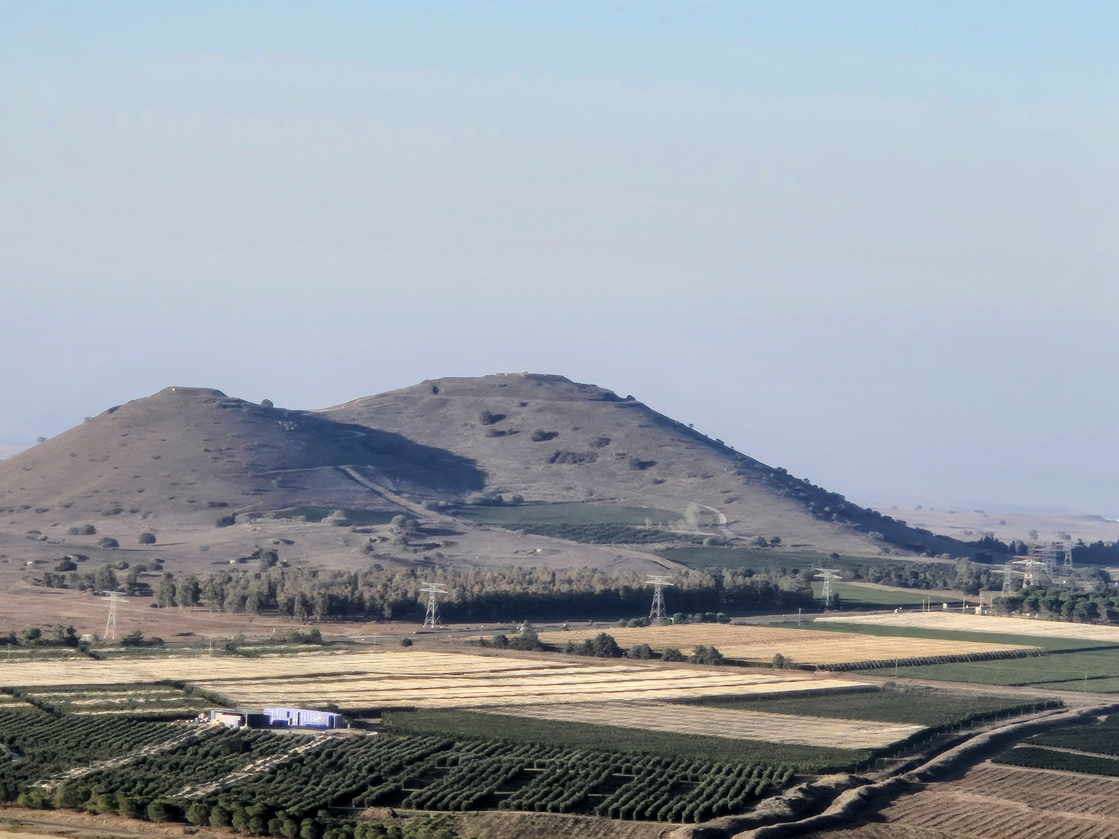
The route starts with a climb up Mount Bental – a striking volcanic cone. The ascent reaches halfway up the mountain, where a scenic northern view opens up toward Mount Hermon and the Valley of Tears.
Continuing north along the Golan Trail, the Syrian city of Quneitra is visible to the east, along with a wide view of the border area. Further along, Mount Avital – the taller of the two volcanic cones – comes into view. To the east lies the Kaldara Valley, an agricultural area with orchards, and to its north, the slope of Avital’s crater.
The trail circles Mount Avital, offering views of the Syrian volcanic cone line across the border. Kibbutz Ein Zivan appears to the south, just below Avital, and additional cones – Shifon and Yosefon – stand out in the landscape.
Toward the end of the loop, on the western side of Avital, Kibbutz Ortal comes into view, along with an open panorama westward toward the Upper Galilee and the Ramim Ridge.
The trail continues downhill on a paved road, separating from the Golan Trail which continues south. The route turns toward the Kaldara, climbs again toward Bental, reconnects with the Golan Trail, and returns to the starting point at Merom Golan.
Circular Running Trail – Merom Golan, Mount Bental & Mount Avital
This circular trail begins at Kibbutz Merom Golan and connects to the Golan Trail (marked in green, blue, and white), near the Bental water reservoir. The trail passes through volcanic landscapes and offers impressive viewpoints.
The route starts with a climb up Mount Bental – a striking volcanic cone. The ascent reaches halfway up the mountain, where a scenic northern view opens up toward Mount Hermon and the Valley of Tears.
Continuing north along the Golan Trail, the Syrian city of Quneitra is visible to the east, along with a wide view of the border area. Further along, Mount Avital – the taller of the two volcanic cones – comes into view. To the east lies the Kaldara Valley, an agricultural area with orchards, and to its north, the slope of Avital’s crater.
The trail circles Mount Avital, offering views of the Syrian volcanic cone line across the border. Kibbutz Ein Zivan appears to the south, just below Avital, and additional cones – Shifon and Yosefon – stand out in the landscape.
Toward the end of the loop, on the western side of Avital, Kibbutz Ortal comes into view, along with an open panorama westward toward the Upper Galilee and the Ramim Ridge.
The trail continues downhill on a paved road, separating from the Golan Trail which continues south. The route turns toward the Kaldara, climbs again toward Bental, reconnects with the Golan Trail, and returns to the starting point at Merom Golan.

Avenir Light is a clean and stylish font favored by designers. It's easy on the eyes and a great go-to font for titles, paragraphs & more.
Avenir Light is a clean and stylish font favored by designers. It's easy on the eyes and a great go-to font for titles, paragraphs & more.
Avenir Light is a clean and stylish font favored by designers. It's easy on the eyes and a great go-to font for titles, paragraphs & more.
Avenir Light is a clean and stylish font favored by designers. It's easy on the eyes and a great go-to font for titles, paragraphs & more.
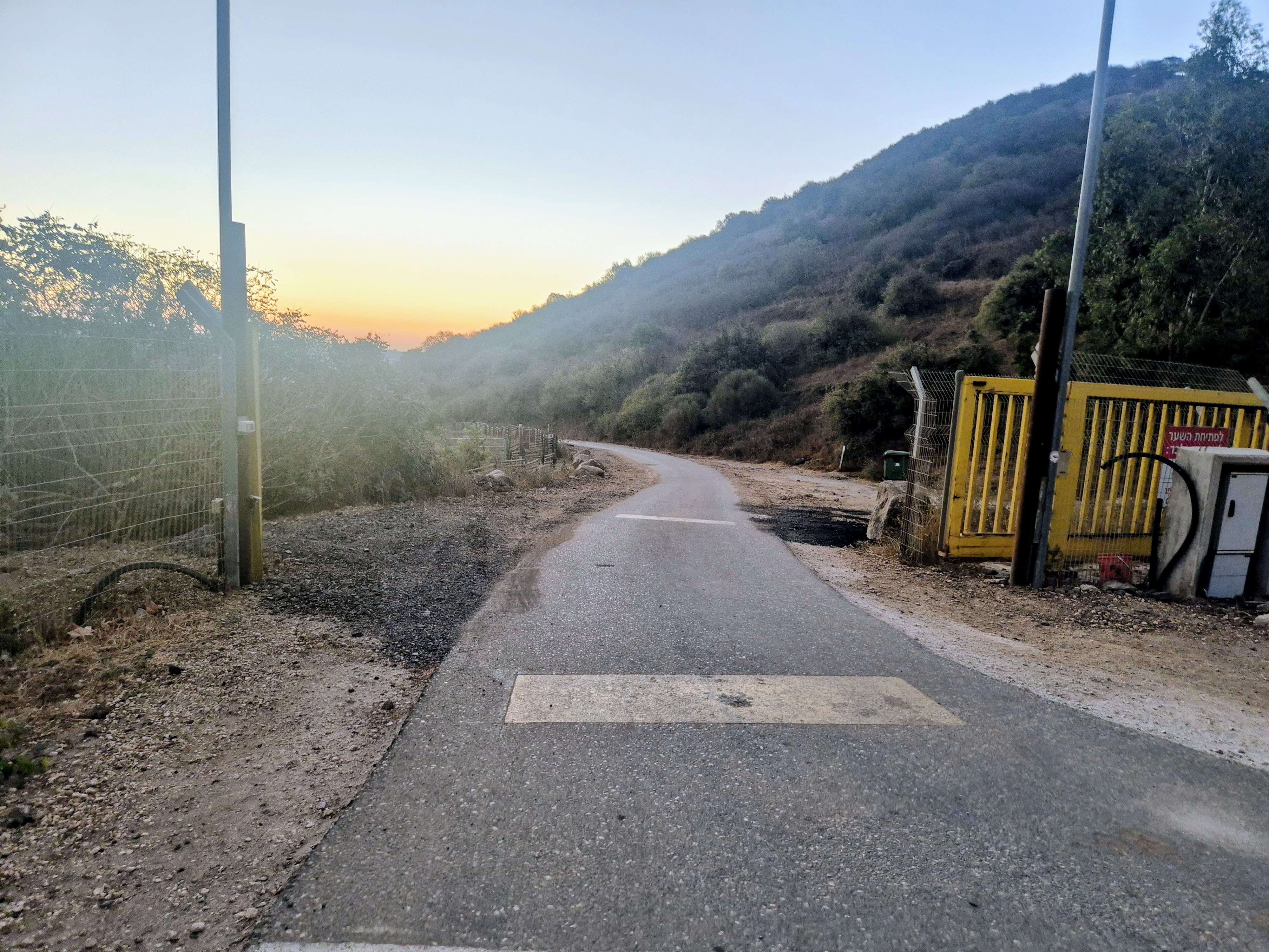
In Waze, enter 'Dolev Street, Merom Golan'. The trail begins at the yellow gate at the end of the street, heading east.
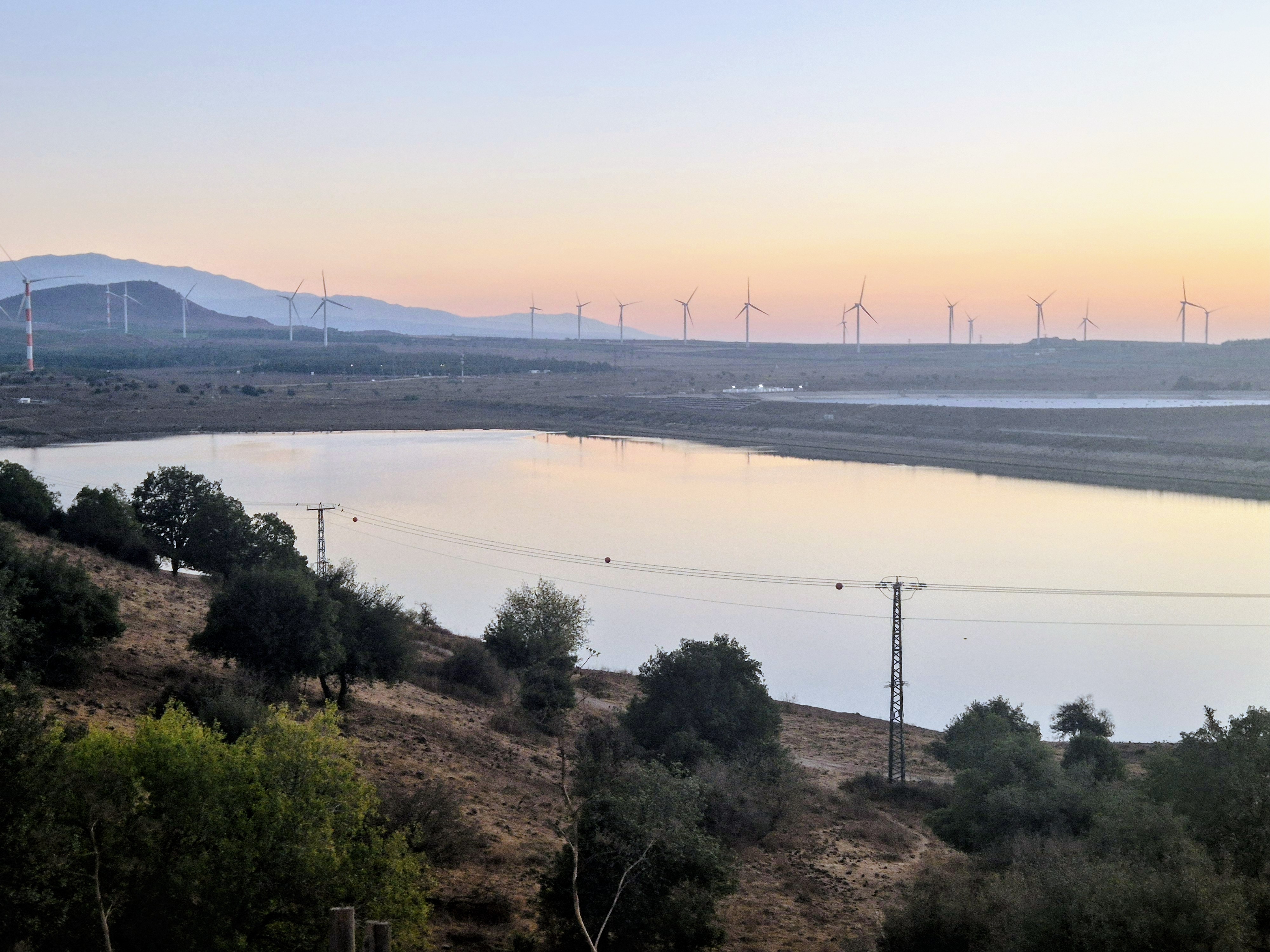
The Bental reservoir will be on our left (east) as we run.

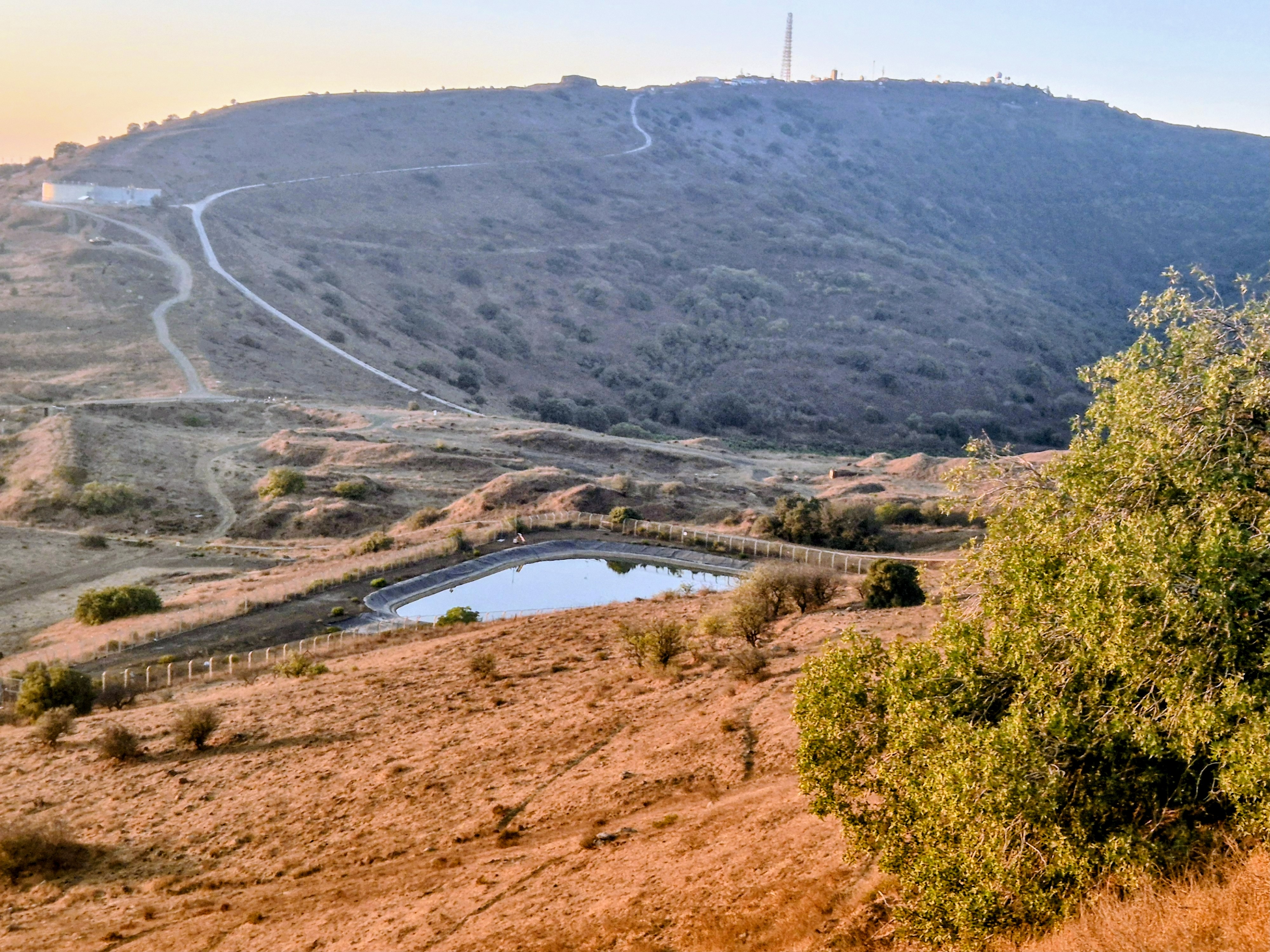
After 550 meters, turn right onto the Golan Trail and begin the ascent toward Mount Bental.

Over the next 6 kilometers, we run along the Golan Trail until we complete the loop around Mount Avital.
To the east, the Syrian city of Quneitra comes into view, along with a wide panorama of the border area. Further along the trail, Mount Avital – the taller of the two volcanic cones – appears. To the east lies the Kaldara Valley, an agricultural area with orchards, and to its north, the slope of Avital’s crater.
At the end of the loop around Mount Avital, we reach a paved road and turn right.
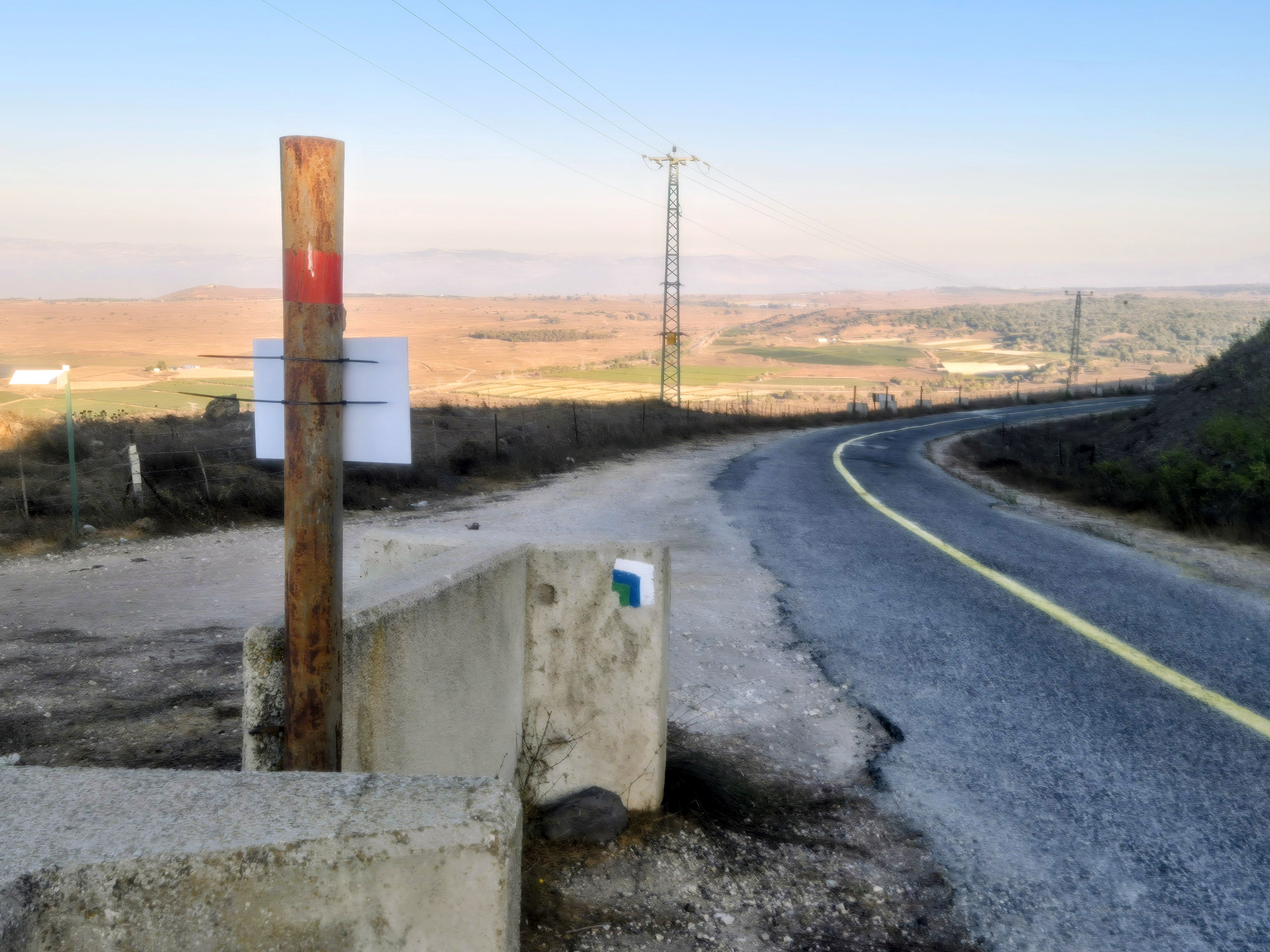
After 130 meters, we separate from the Golan Trail and continue downhill on the paved road.
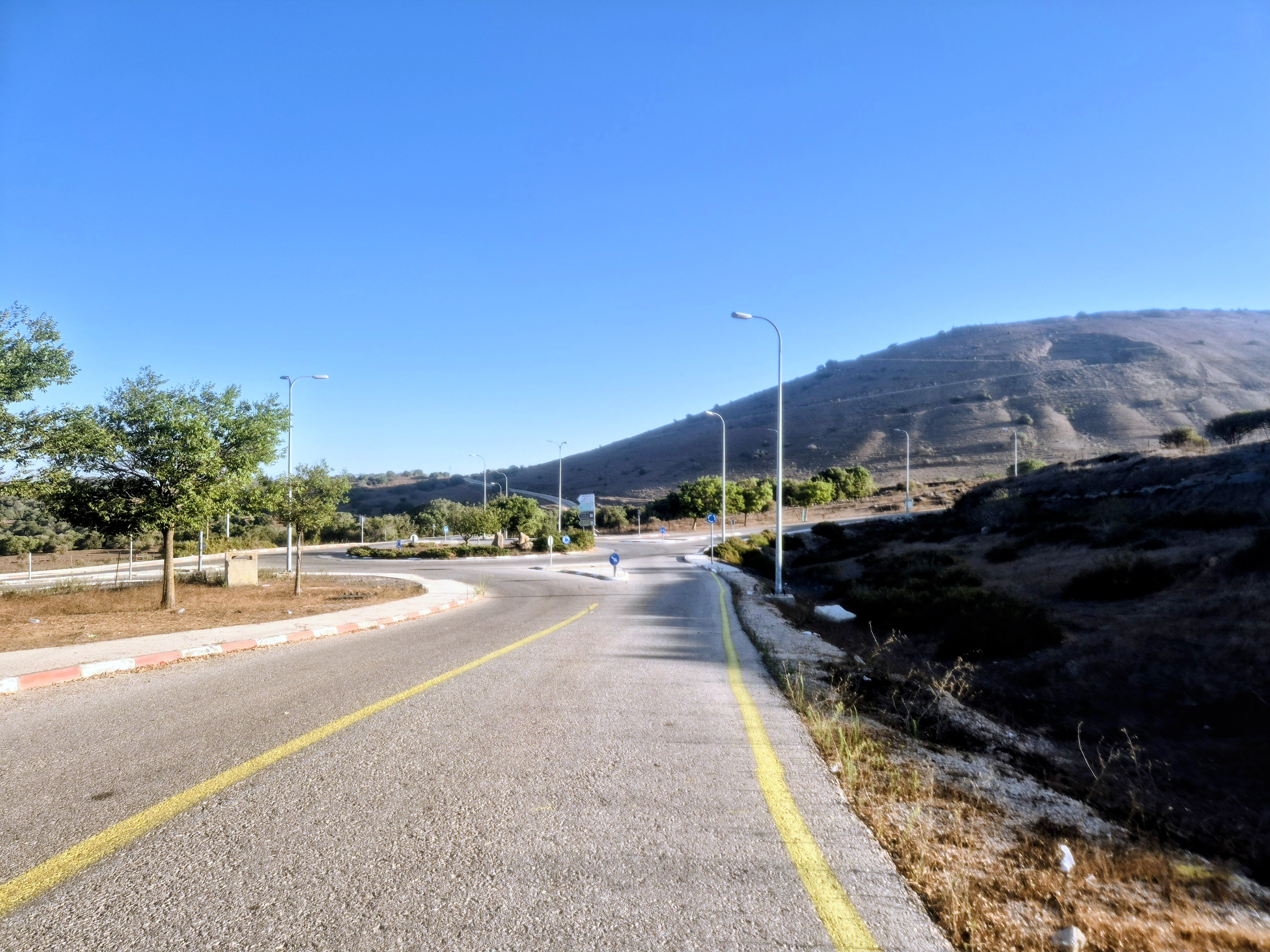
We shall turn tight at the round about
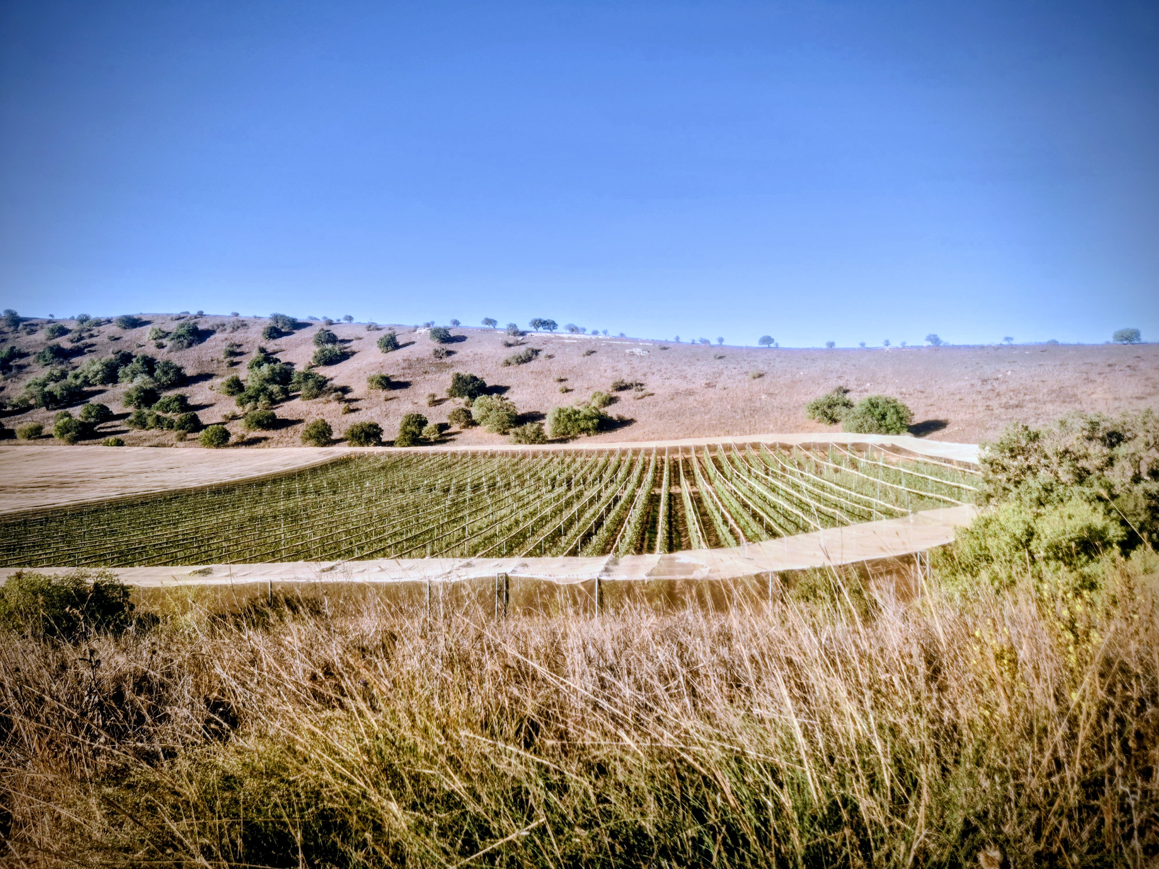
We run about 1.5 kilometers with the Kaldara Valley stretching to our right along the way, and then begin the climb toward the junction between Mount Avital and Mount Bental.
We reconnect with the Golan Trail, turn left, and run a little over 3 kilometers in a generally northward direction along the same route we started on – until we reach the starting point at Merom Golan.
Legal Notice
Use at the User’s Own Risk
Use of the Israel Trail Running website and app is entirely at the user's own risk.
The site owners, editors, and contributors do not guarantee the accuracy, completeness, or timeliness of the information presented.
Preparation and Verification
Do not begin any trail without first verifying safety conditions, security guidelines, weather, and terrain status with an official and reliable source.
It is the user's responsibility to verify all information and ensure that the area is open, safe, and not a closed military zone or active fire zone.
Trail Files and Descriptions
Trail descriptions and GPX files are theoretical only.
Some trails include life-threatening sections. Entering a trail is solely at the user's own risk.
Trails may change over time; only some have been field-verified.
Safety and Conduct
Carry appropriate gear and follow all safety rules.
Camping is only permitted in designated overnight campsites marked on official maps.
In nature reserves and national parks, movement is allowed only on foot or by vehicle on marked trails and roads.
No Recommendations
Nothing on this site constitutes a recommendation; the content is for informational purposes only.
The site team bears no responsibility for any damage, injury, or loss resulting from the use of the information.
שימוש באחריות המשתמש בלבד
השימוש באתר ובאפליקציית Israel Trail Running הוא באחריות המשתמש בלבד.
בעלי האתר, העורכים והכותבים אינם מתחייבים לדיוק, שלמות או עדכניות של המידע המוצג.
הכנה ואימות
אין לצאת למסלול מבלי לבדוק תחילה מול מקור מוסמך את תנאי הבטיחות, ההנחיות הביטחוניות, מזג האוויר ומצב השטח.
באחריות המשתמש לאמת את כל המידע ולוודא שהאזור פתוח, בטוח, ואינו שטח צבאי סגור או שטח אש פעיל.
קבצי מסלול ותיאורים
תיאורי המסלולים וקבצי GPX הם תיאורטיים בלבד.
חלק מהמסלולים כוללים קטעים מסכני חיים. היציאה למסלול היא באחריות המשתמש בלבד.
מסלולים עשויים להשתנות עם הזמן; רק חלקם נבדקו בשטח.
בטיחות והתנהלות
יש לשאת ציוד מתאים ולפעול לפי כללי הבטיחות.
לינה בשטח מותרת רק בחניוני לילה מוסדרים המסומנים במפות הרשמיות.
בשמורות טבע וגנים לאומיים מותר לנוע רק ברגל או ברכב בשבילים ובדרכים מסומנים.
אין המלצות
שום דבר באתר זה אינו מהווה המלצה; התוכן נועד למטרות מידע בלבד.
צוות האתר אינו נושא באחריות לכל נזק, פציעה או אובדן שייגרמו כתוצאה מהשימוש במידע.