
Horashim forest
Lowest point
Cumulative Ascent
Trail Type
Loop
Highest point
מעגלי
147
Distance
7.3 km, 4.54 miles.
Difficulty Level
1/4


147
47
Cumulative Descent
Navigation File
147
Starting Point
End Point
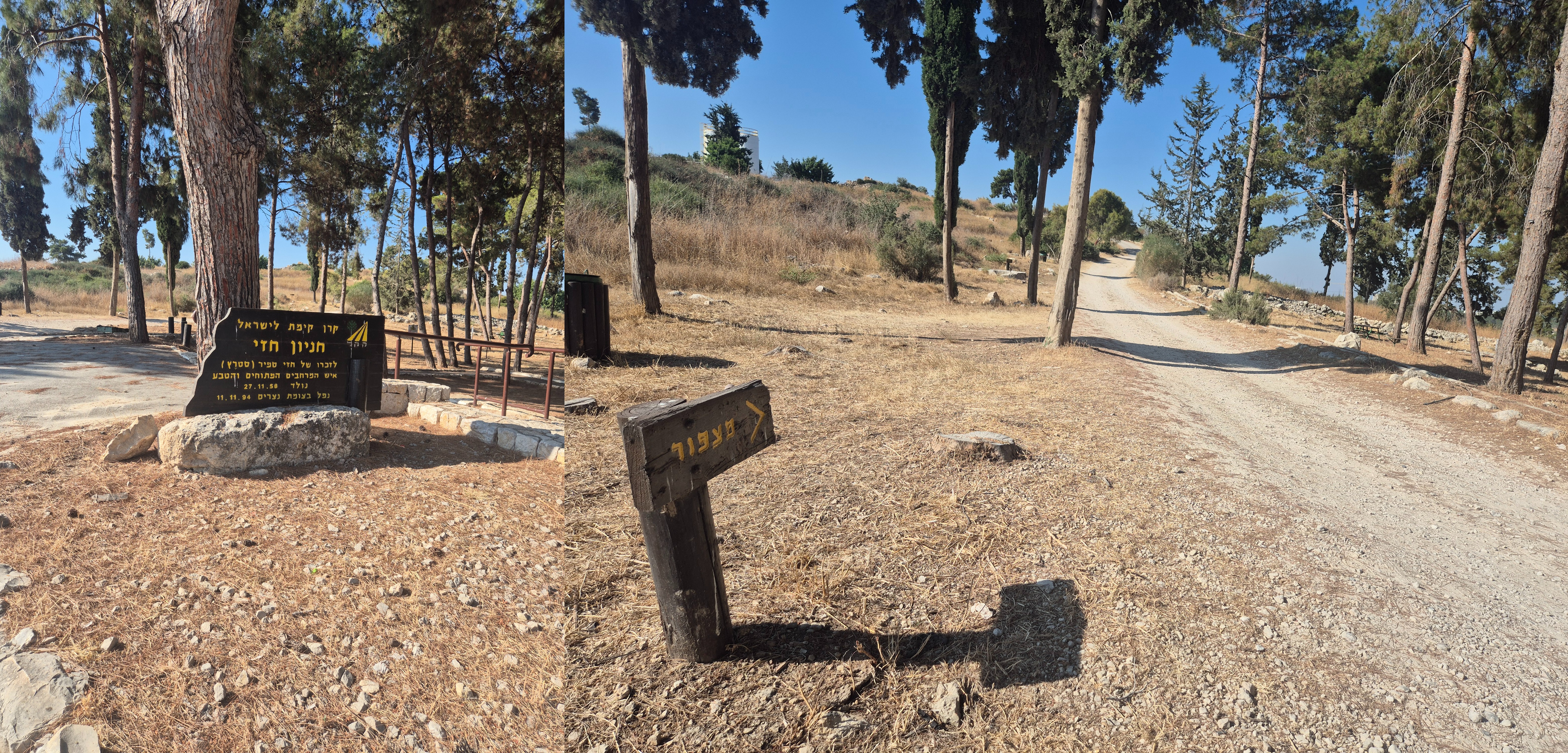
Hezi Parking ,Nirit
חניון חזי,נירית
Hezi Parking ,Nirit
חניון חזי,נירית
Recommended Season
Suitable year-round
During summer, it's best to start early in the morning to avoid the heat and strong sun.
Suitable year-round
During summer, it's best to start early in the morning to avoid the heat and strong sun.
Trail Description
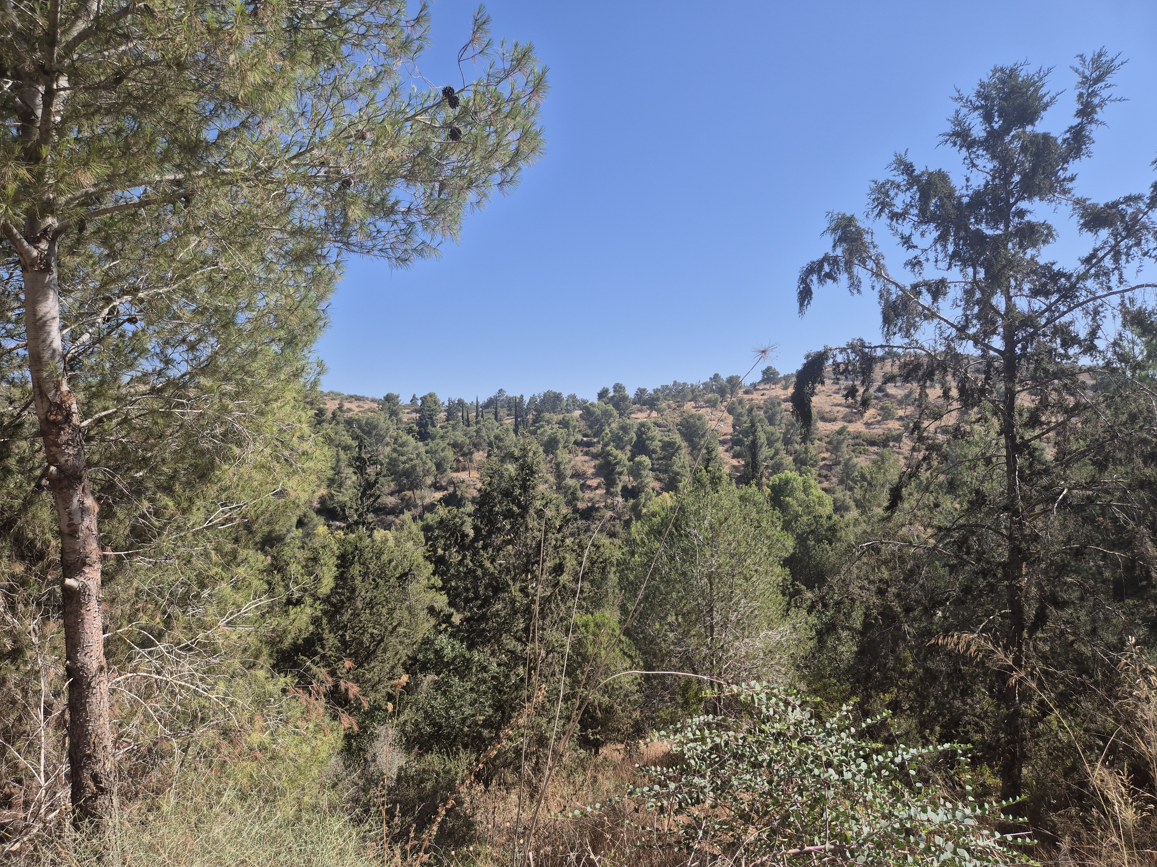
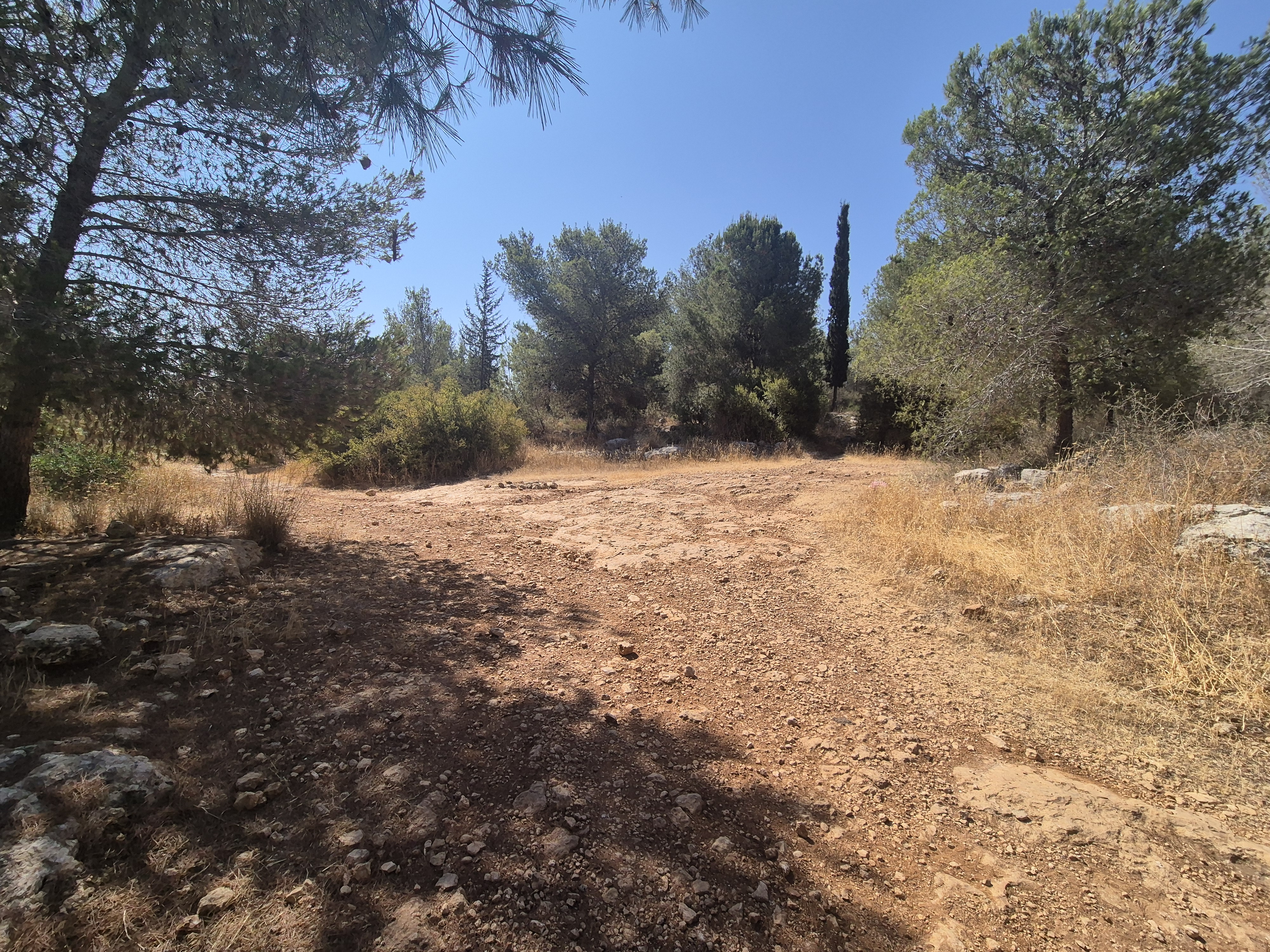
Horshim Forest lies on the seam between the Coastal Plain and the Dume Shomron—the western ridge of the Samarian Hills—where the mountainous terrain gradually descends toward the plains.
The forest borders Kibbutz Horshim, Moshav Yarkhiv, Oranit, Kfar Bara, and Nirit, and is easily accessible via fast and convenient routes from all directions.
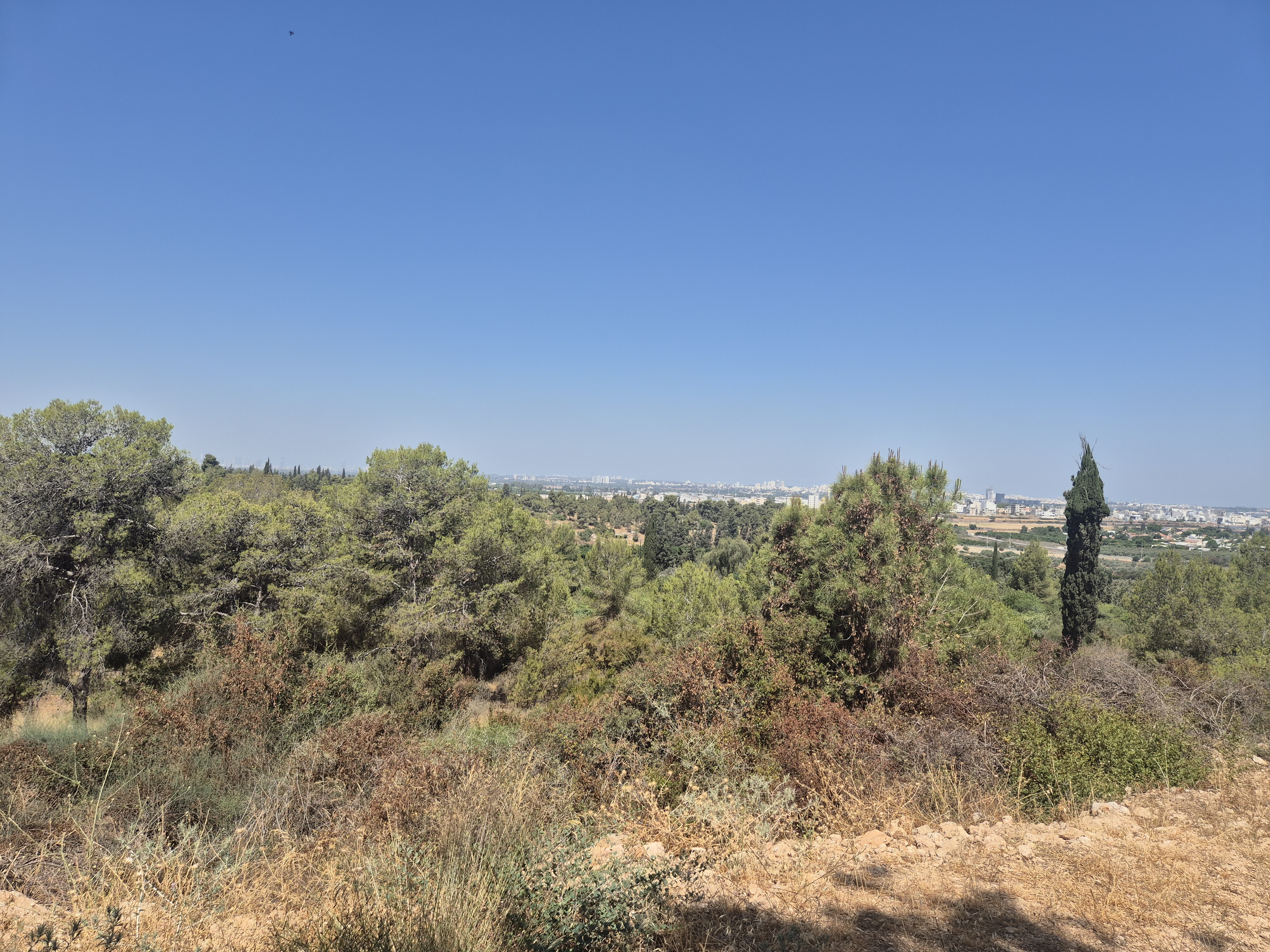
The forest offers a diverse running experience, combining shaded trails through natural woodland with open views of the Samaria region, the Sharon plain, and the Greater Tel Aviv area. In winter and spring, you'll enjoy abundant blossoms and lush vegetation; in summer, the shaded areas allow for pleasant early morning runs.
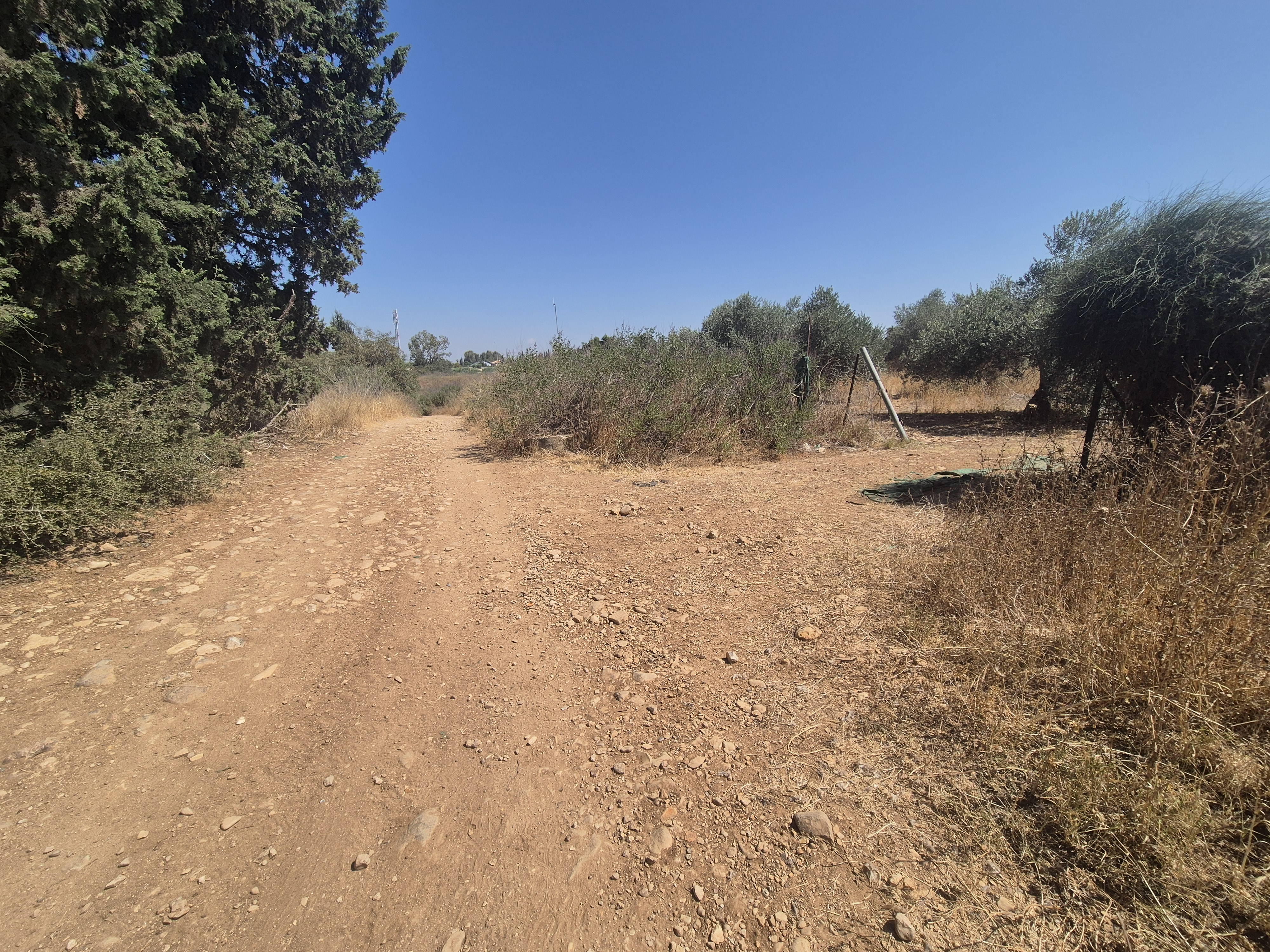
Horshim Forest is known for its well-maintained trails that remain firm even after rainfall, making it an ideal year-round running destination.
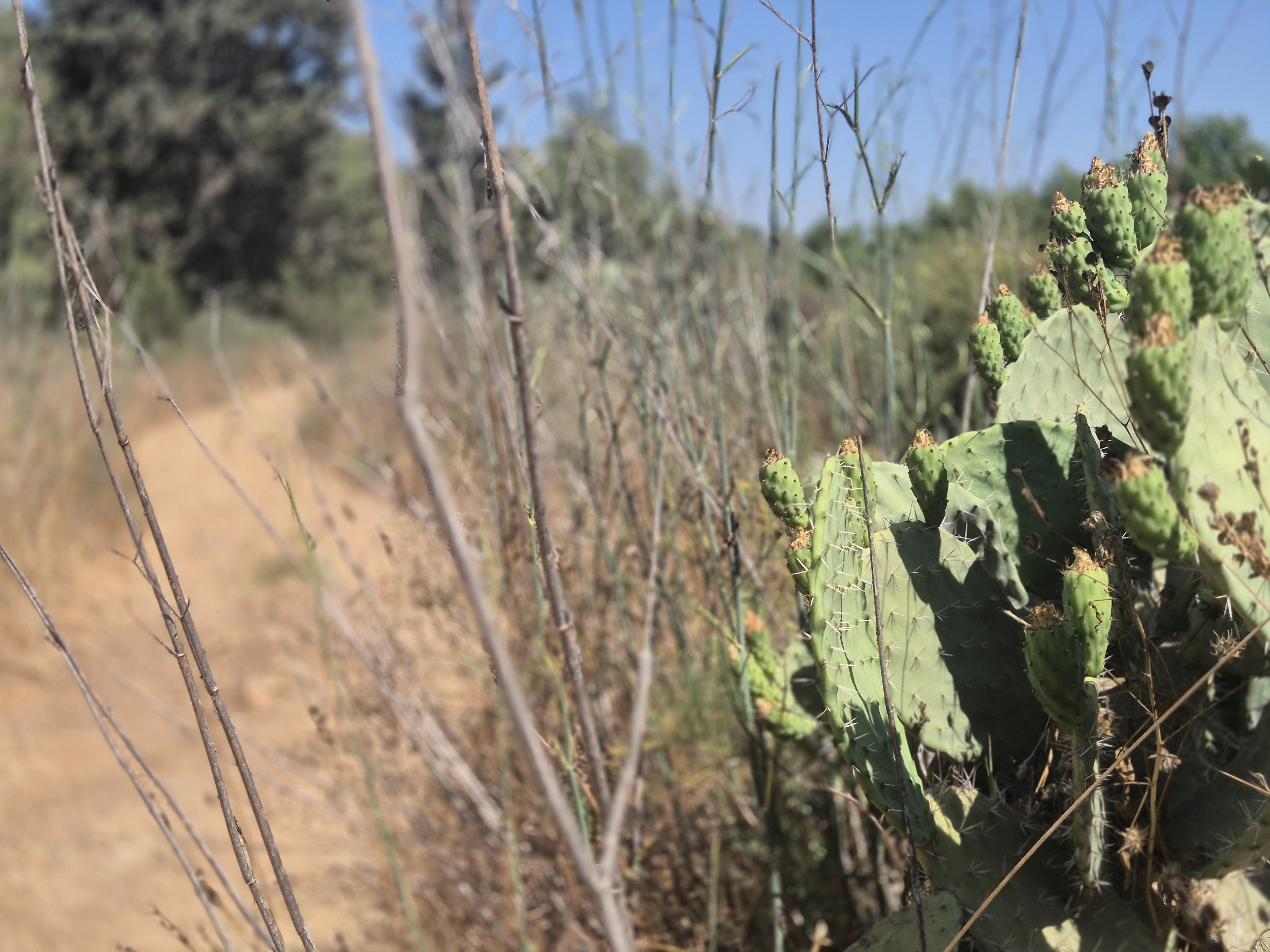
At the heart of the forest flows Nahal Kana—a seasonal stream that flows only during the rainy season. It is one of the tributaries of the Yarkon River and crosses the forest from east to west.
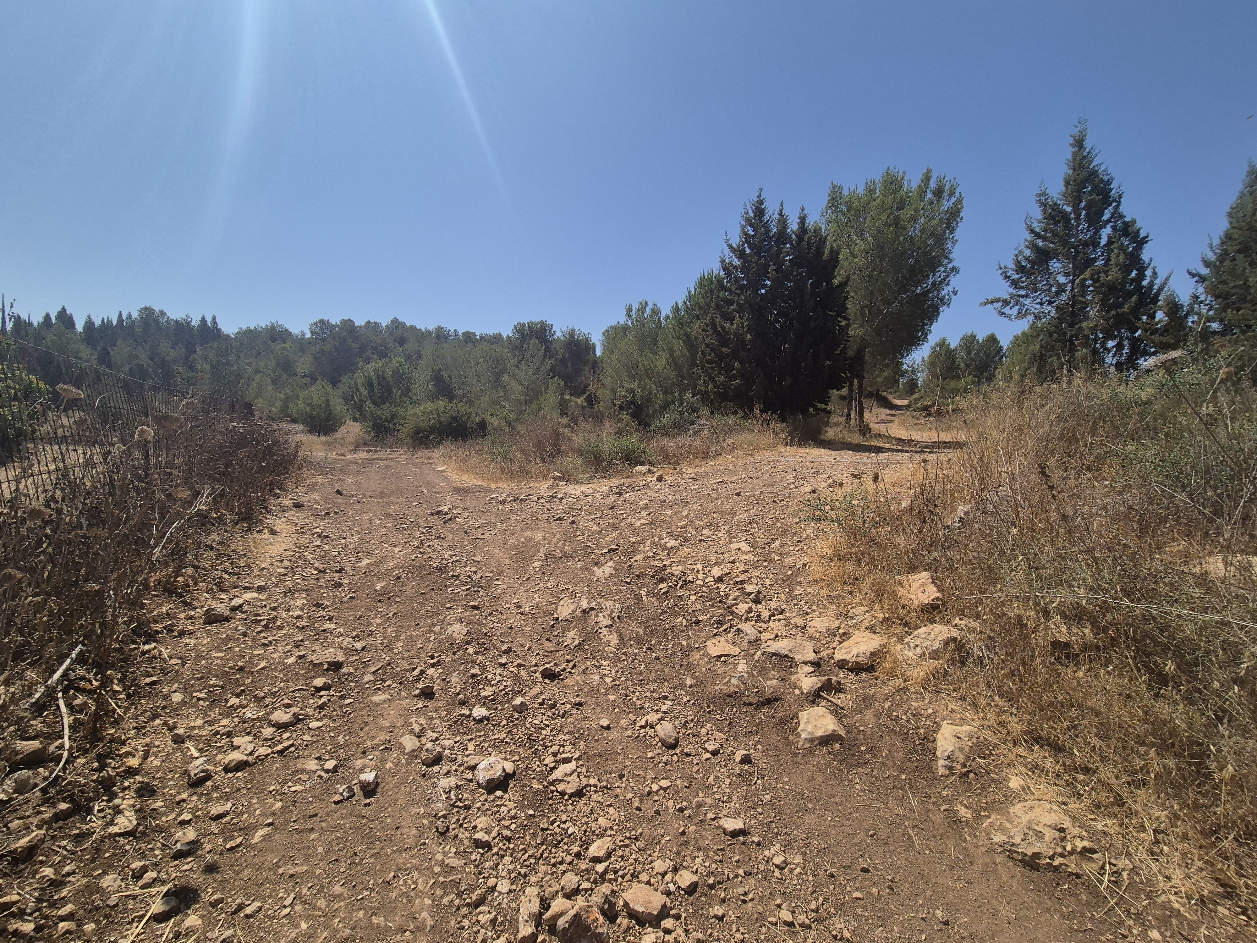
The recommended trail is easy to navigate, includes a few moderate ascents, and is suitable for runners of all levels. KKL signage helps with orientation and greatly reduces the chance of getting off track.
The forest is also a favorite among cyclists, with trails available in various levels of difficulty.
🅿️ Access and Entrances:
There are two main entrances to the forest. The trail description is based on starting from Nirit:
Nirit Entrance – through the gate of the community. The gate opens at 06:00, but it’s possible to begin your run from the gate even earlier if you arrive before it opens.
Kibbutz Horshim Entrance – open throughout the day and a convenient alternative for those arriving before the Nirit gate opens.
🚗Directions:
To Hezi Sapir Parking Lot (Nirit): Drive along the access road to Nirit. Continue about 700 meters from the entrance gate—the parking lot will be on the right.
To the Main Entrance (Horshim): From Horshim Interchange, head east on Road 5233 to the entrance of Kibbutz Horshim. Just before the gate, turn left (north) and continue for about 750 meters to the main forest entrance.
Horshim Forest lies on the seam between the Coastal Plain and the Dume Shomron—the western ridge of the Samarian Hills—where the mountainous terrain gradually descends toward the plains.
The forest borders Kibbutz Horshim, Moshav Yarkhiv, Oranit, Kfar Bara, and Nirit, and is easily accessible via fast and convenient routes from all directions.
The forest offers a diverse running experience, combining shaded trails through natural woodland with open views of the Samaria region, the Sharon plain, and the Greater Tel Aviv area. In winter and spring, you'll enjoy abundant blossoms and lush vegetation; in summer, the shaded areas allow for pleasant early morning runs.
Horshim Forest is known for its well-maintained trails that remain firm even after rainfall, making it an ideal year-round running destination.
At the heart of the forest flows Nahal Kana—a seasonal stream that flows only during the rainy season. It is one of the tributaries of the Yarkon River and crosses the forest from east to west.
The recommended trail is easy to navigate, includes a few moderate ascents, and is suitable for runners of all levels. KKL signage helps with orientation and greatly reduces the chance of getting off track.
The forest is also a favorite among cyclists, with trails available in various levels of difficulty.
🅿️ Access and Entrances:
There are two main entrances to the forest. The trail description is based on starting from Nirit:
Nirit Entrance – through the gate of the community. The gate opens at 06:00, but it’s possible to begin your run from the gate even earlier if you arrive before it opens.
Kibbutz Horshim Entrance – open throughout the day and a convenient alternative for those arriving before the Nirit gate opens.
🚗Directions:
To Hezi Sapir Parking Lot (Nirit): Drive along the access road to Nirit. Continue about 700 meters from the entrance gate—the parking lot will be on the right.
To the Main Entrance (Horshim): From Horshim Interchange, head east on Road 5233 to the entrance of Kibbutz Horshim. Just before the gate, turn left (north) and continue for about 750 meters to the main forest entrance.

Avenir Light is a clean and stylish font favored by designers. It's easy on the eyes and a great go-to font for titles, paragraphs & more.
Avenir Light is a clean and stylish font favored by designers. It's easy on the eyes and a great go-to font for titles, paragraphs & more.
Avenir Light is a clean and stylish font favored by designers. It's easy on the eyes and a great go-to font for titles, paragraphs & more.
Avenir Light is a clean and stylish font favored by designers. It's easy on the eyes and a great go-to font for titles, paragraphs & more.

Avenir Light is a clean and stylish font favored by designers. It's easy on the eyes and a great go-to font for titles, paragraphs & more.
Avenir Light is a clean and stylish font favored by designers. It's easy on the eyes and a great go-to font for titles, paragraphs & more.

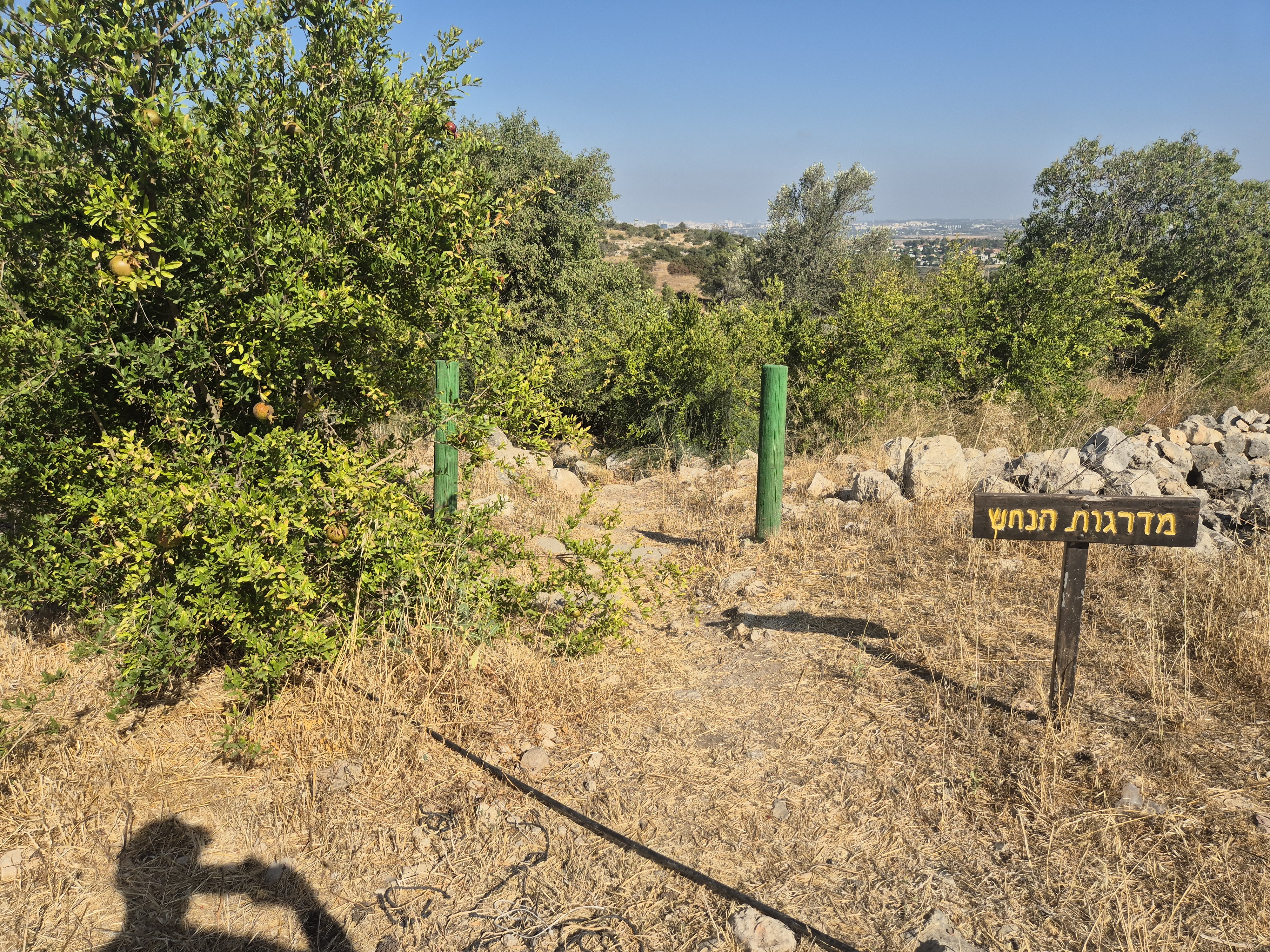
After 150 meters, you’ll reach Mitzpe Hezi — a scenic lookout facing east, offering views of the Samarian Hills, Shaarei Tikva, Ariel, Azzun Atma, and other nearby communities. Just a few steps further, turning westward, you'll enjoy a panoramic view of the Coastal Plain, the Tel Aviv metropolitan area (Gush Dan), and the cities of the Sharon region.
Continue running and, after a few meters, keep to the left. Run for a few dozen more meters until you reach the sign for “Snake Stairs.” Turn left at the sign and descend along the path until it meets the white road that runs alongside a fence. Turn left again and run for a few dozen meters until you reach a gate in the fence.
Avenir Light is a clean and stylish font favored by designers. It's easy on the eyes and a great go-to font for titles, paragraphs & more.
Avenir Light is a clean and stylish font favored by designers. It's easy on the eyes and a great go-to font for titles, paragraphs & more.
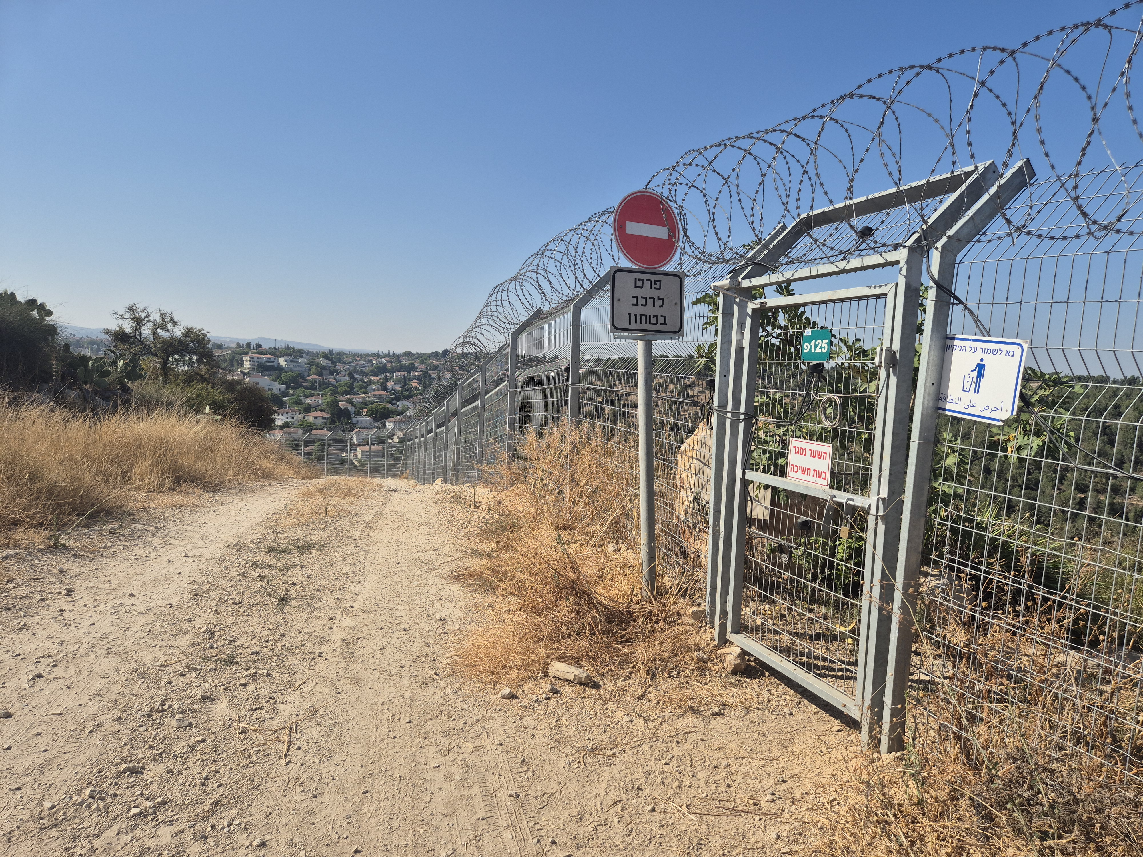
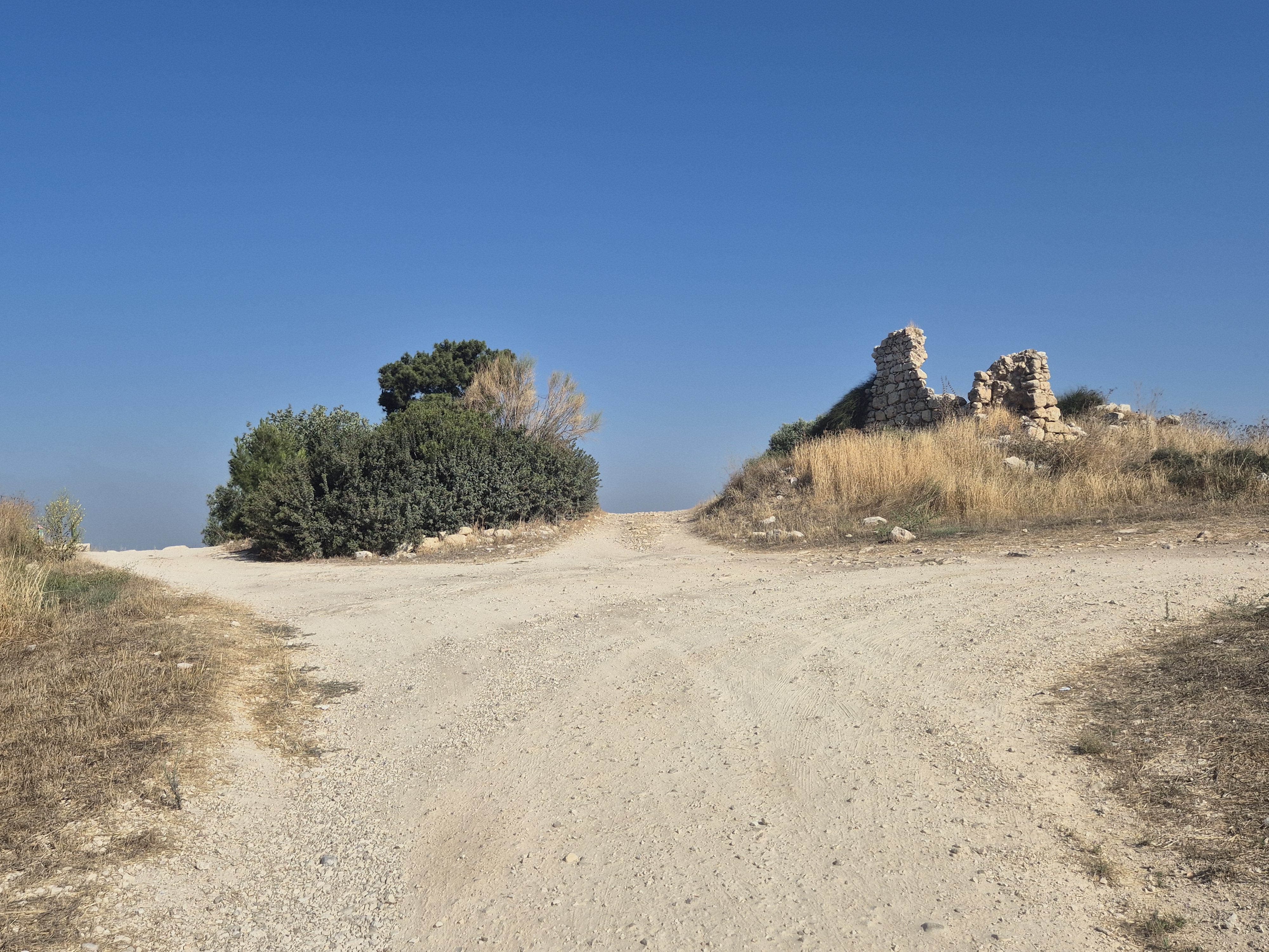
The gate is open — go through it and descend along the path for about 120 meters until you reach a white dirt road. Turn left and continue running downhill for about 650 meters. The road curves, and soon you'll reach a junction.
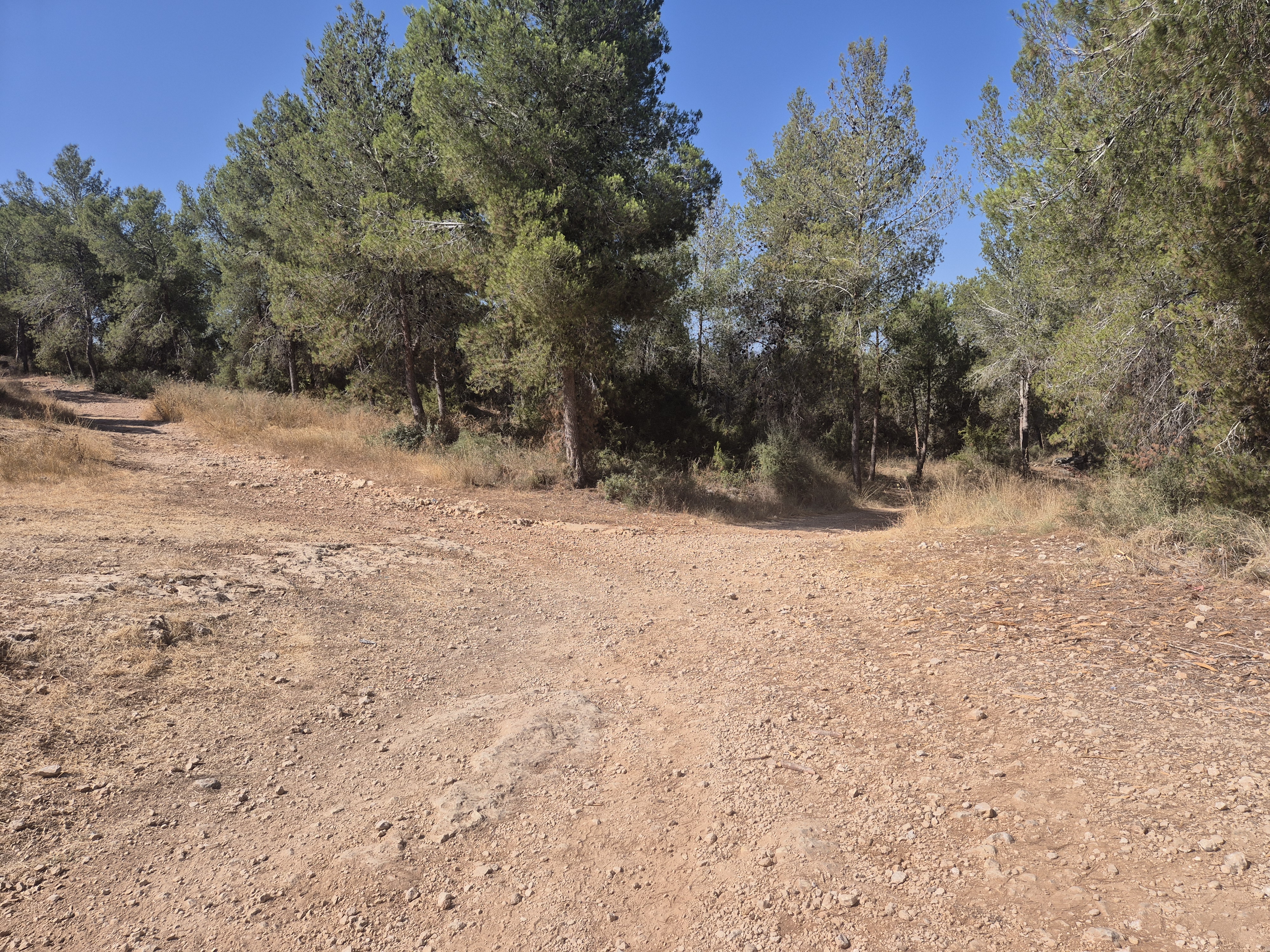
At the junction, turn left and continue running straight along the path.

At the next junction, after a few dozen meters, turn right.
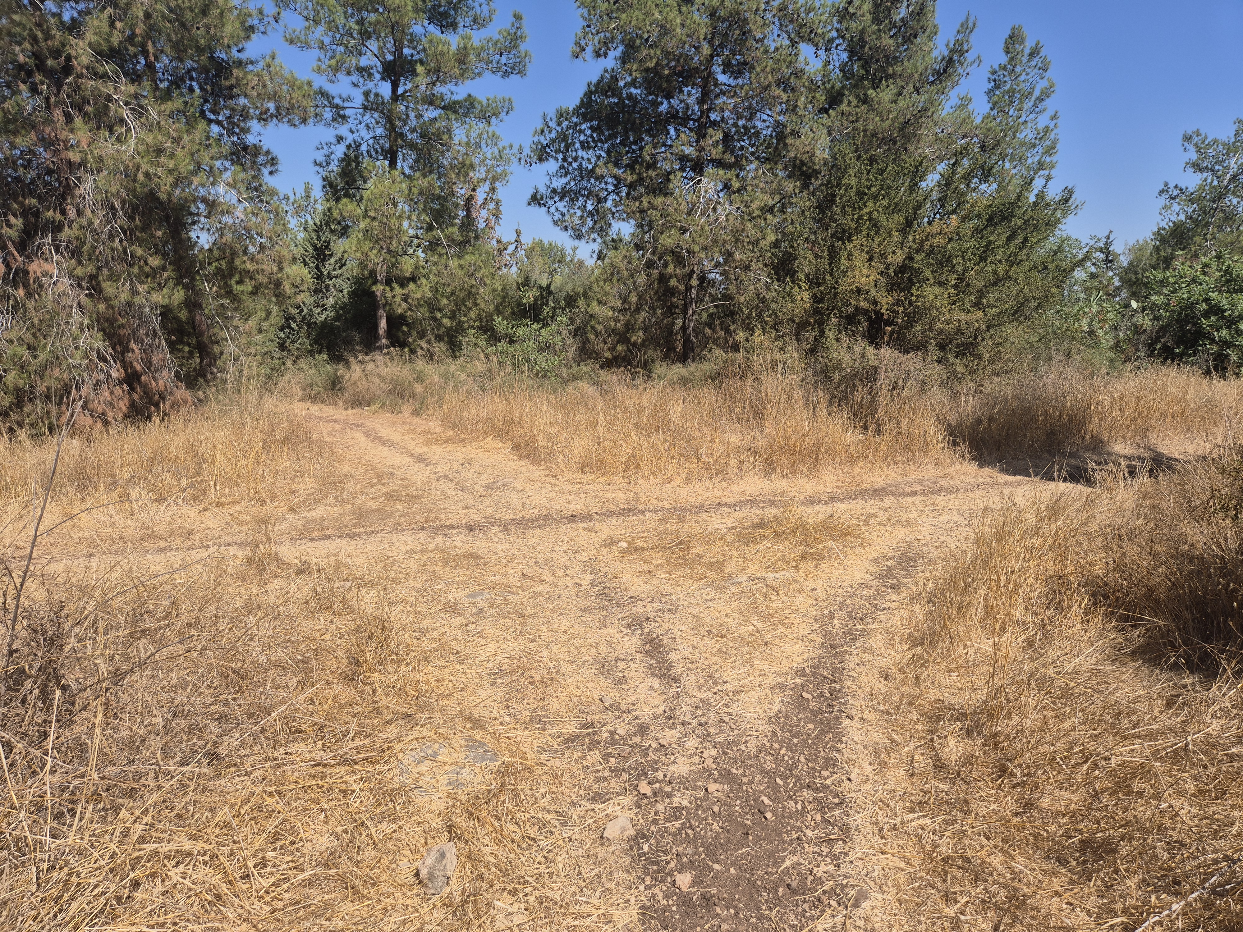
After about 100 meters, there is an uphill turn to the left. Turn left and run for approximately 550 meters until you reach a junction. Turn right there and begin circling the hill. On your right, you'll see the path you came from
After approximately 650 meters, there will be a left turn leading uphill
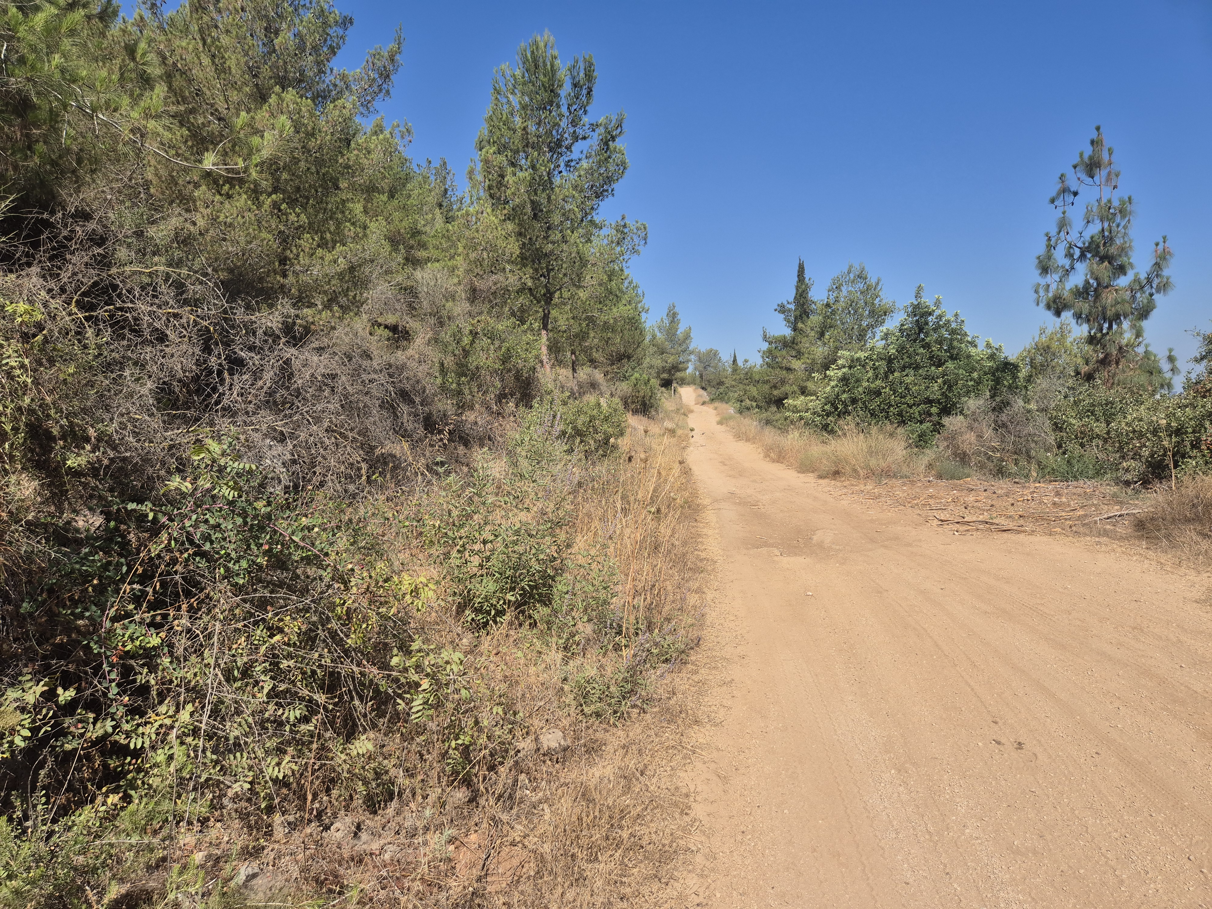
After approximately 270 meters, turn right and continue running downhill for about 400 meters. The path will curve to the left and lead to a wide white dirt road.
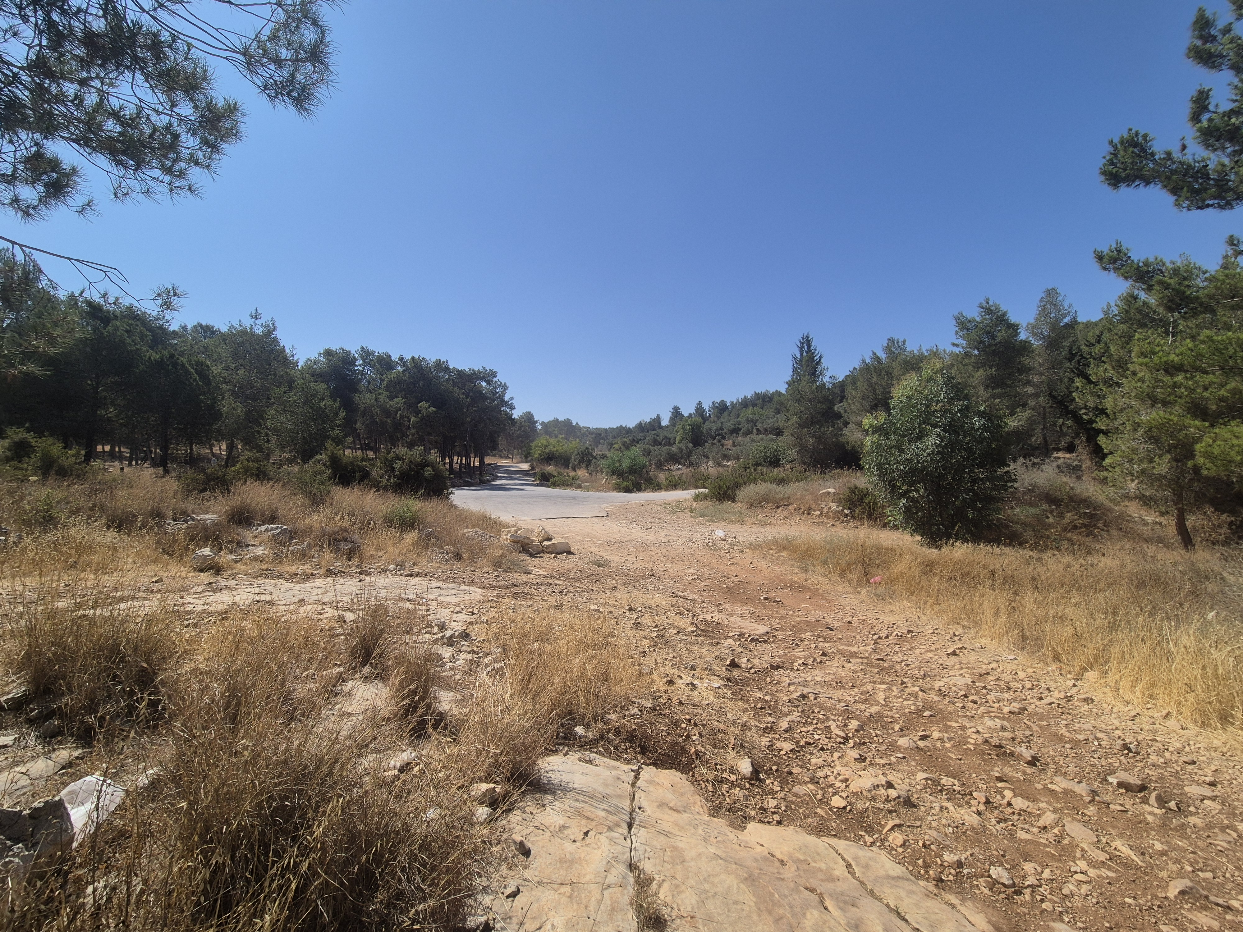
Turn right (note: there's another path slightly before—don’t get confused), and continue for about 880 meters in the direction of Horshim.

Avenir Light is a clean and stylish font favored by designers. It's easy on the eyes and a great go-to font for titles, paragraphs & more.
Avenir Light is a clean and stylish font favored by designers. It's easy on the eyes and a great go-to font for titles, paragraphs & more.

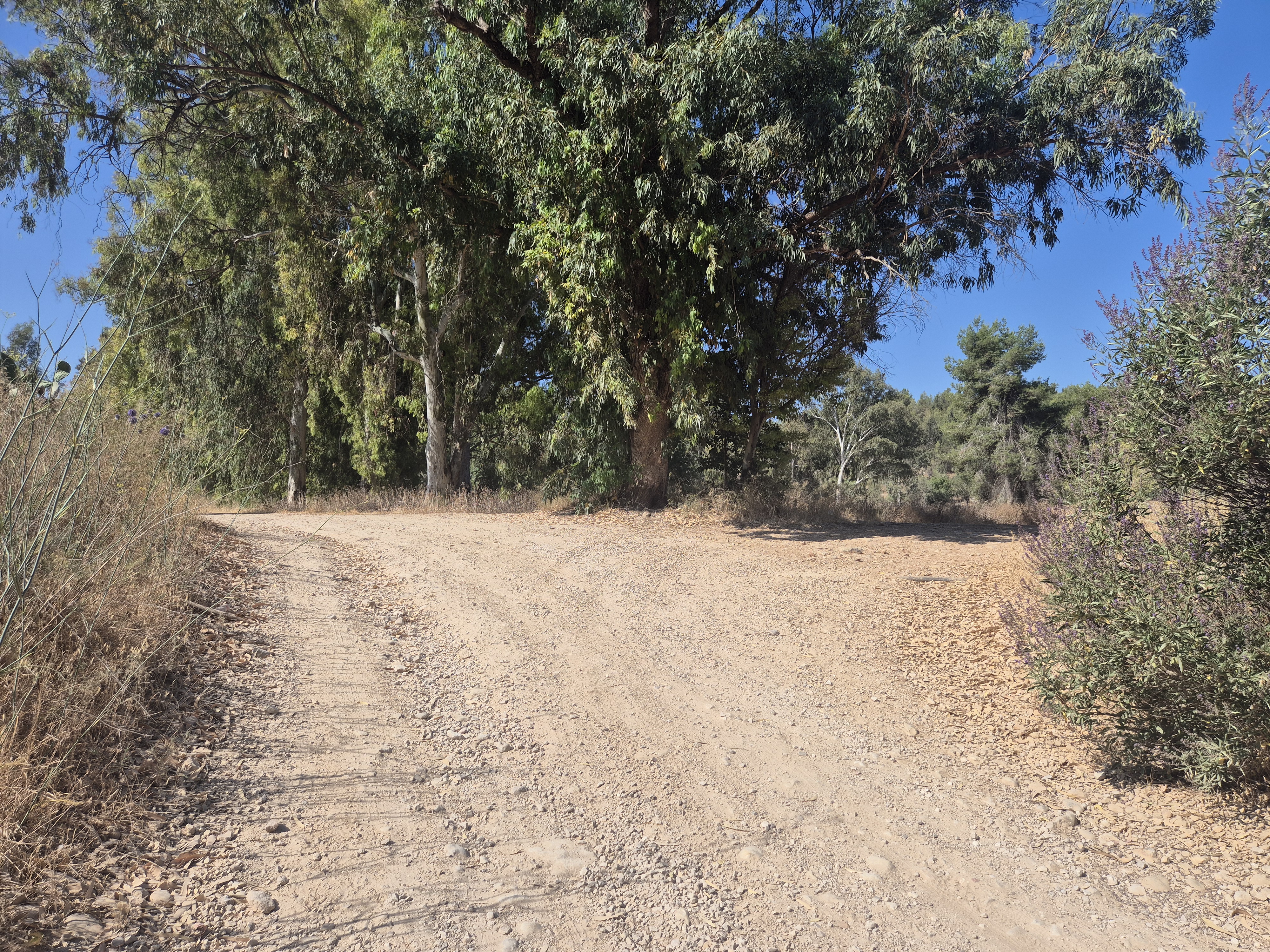
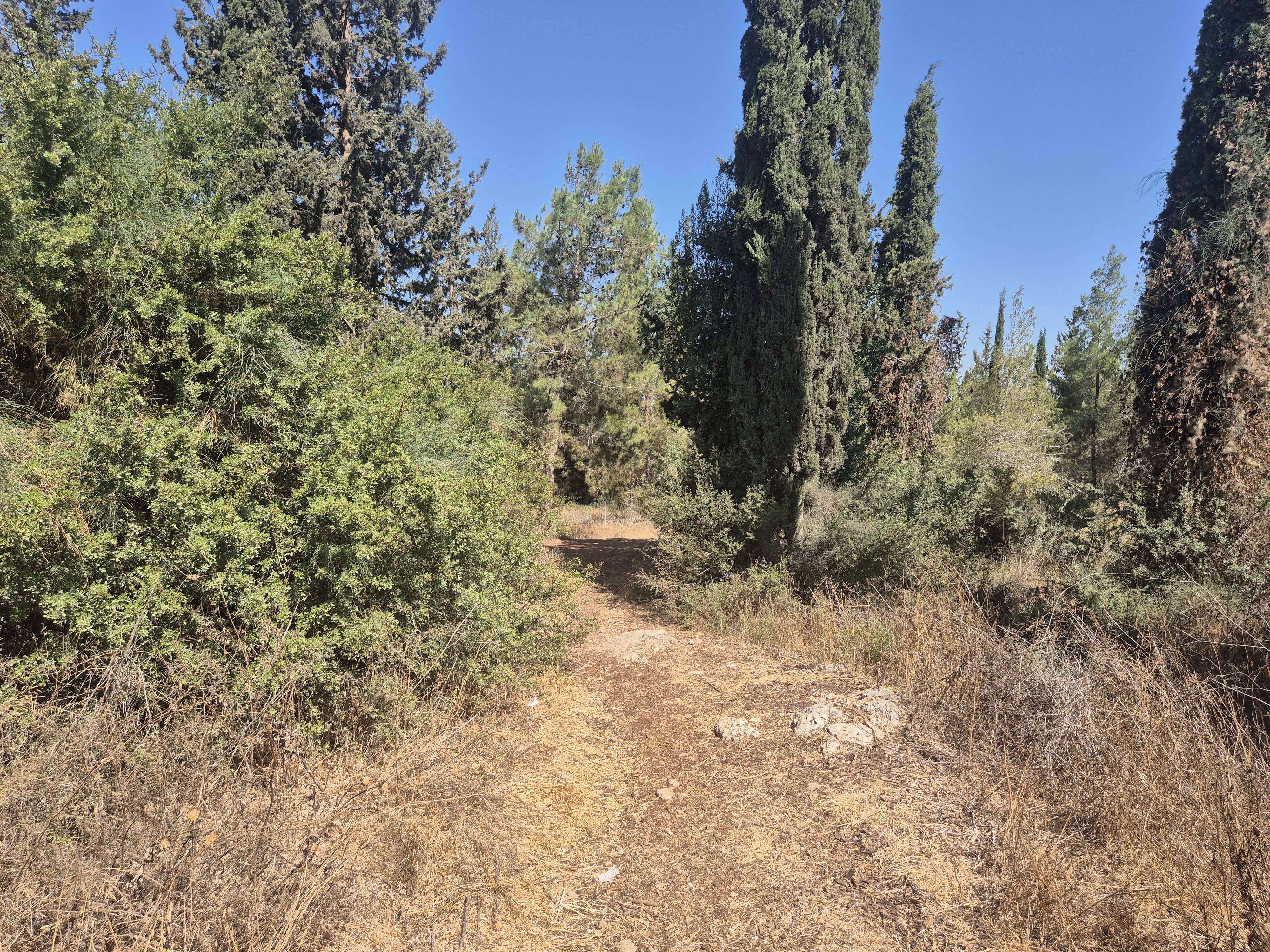
As the path curves to the left, you’ll see several cypress trees. Turn right onto the bike trail and begin descending. You are now near Kibbutz Horshim, and the paths will lead you back to the parking area.
Avenir Light is a clean and stylish font favored by designers. It's easy on the eyes and a great go-to font for titles, paragraphs & more.
Avenir Light is a clean and stylish font favored by designers. It's easy on the eyes and a great go-to font for titles, paragraphs & more.
Continue running downhill for about 400 meters along the bike trail. After approximately 150 meters, you’ll reach a trail junction — turn right and then immediately left. Continue along the path until you reach the fence of Kibbutz Horshim. Turn right there and run along the fence toward the parking lot. Inside the parking area, turn left and continue until you reach the Nahal Kana streambed.

Cross the stream and continue running west along the dirt road. On your right, you'll pass an avocado grove, and on your left, Nahal Kana will flow alongside you. Run for about 700 meters until you reach an olive grove — there, turn right.
Avenir Light is a clean and stylish font favored by designers. It's easy on the eyes and a great go-to font for titles, paragraphs & more.
Avenir Light is a clean and stylish font favored by designers. It's easy on the eyes and a great go-to font for titles, paragraphs & more.
Avenir Light is a clean and stylish font favored by designers. It's easy on the eyes and a great go-to font for titles, paragraphs & more.
Avenir Light is a clean and stylish font favored by designers. It's easy on the eyes and a great go-to font for titles, paragraphs & more.
Continue running for approximately 450 meters. The olive grove on your left will disappear, and an avocado grove will appear on your right. Continue until you reach a right turn — take it.
After about 150 meters uphill, turn left and continue running uphill for another 300 meters. At the junction, turn right and immediately left. Run another 300 meters until you reach the next junction, where you should turn right. You are now at a high point with an open view above the treetops. From here, continue straight toward the Hezi parking lot — you’ll need to pass through a gate in the fence once again.
Avenir Light is a clean and stylish font favored by designers. It's easy on the eyes and a great go-to font for titles, paragraphs & more.
Avenir Light is a clean and stylish font favored by designers. It's easy on the eyes and a great go-to font for titles, paragraphs & more.
Legal Notice
Use at the User’s Own Risk
Use of the Israel Trail Running website and app is entirely at the user's own risk.
The site owners, editors, and contributors do not guarantee the accuracy, completeness, or timeliness of the information presented.
Preparation and Verification
Do not begin any trail without first verifying safety conditions, security guidelines, weather, and terrain status with an official and reliable source.
It is the user's responsibility to verify all information and ensure that the area is open, safe, and not a closed military zone or active fire zone.
Trail Files and Descriptions
Trail descriptions and GPX files are theoretical only.
Some trails include life-threatening sections. Entering a trail is solely at the user's own risk.
Trails may change over time; only some have been field-verified.
Safety and Conduct
Carry appropriate gear and follow all safety rules.
Camping is only permitted in designated overnight campsites marked on official maps.
In nature reserves and national parks, movement is allowed only on foot or by vehicle on marked trails and roads.
No Recommendations
Nothing on this site constitutes a recommendation; the content is for informational purposes only.
The site team bears no responsibility for any damage, injury, or loss resulting from the use of the information.
שימוש באחריות המשתמש בלבד
השימוש באתר ובאפליקציית Israel Trail Running הוא באחריות המשתמש בלבד.
בעלי האתר, העורכים והכותבים אינם מתחייבים לדיוק, שלמות או עדכניות של המידע המוצג.
הכנה ואימות
אין לצאת למסלול מבלי לבדוק תחילה מול מקור מוסמך את תנאי הבטיחות, ההנחיות הביטחוניות, מזג האוויר ומצב השטח.
באחריות המשתמש לאמת את כל המידע ולוודא שהאזור פתוח, בטוח, ואינו שטח צבאי סגור או שטח אש פעיל.
קבצי מסלול ותיאורים
תיאורי המסלולים וקבצי GPX הם תיאורטיים בלבד.
חלק מהמסלולים כוללים קטעים מסכני חיים. היציאה למסלול היא באחריות המשתמש בלבד.
מסלולים עשויים להשתנות עם הזמן; רק חלקם נבדקו בשטח.
בטיחות והתנהלות
יש לשאת ציוד מתאים ולפעול לפי כללי הבטיחות.
לינה בשטח מותרת רק בחניוני לילה מוסדרים המסומנים במפות הרשמיות.
בשמורות טבע וגנים לאומיים מותר לנוע רק ברגל או ברכב בשבילים ובדרכים מסומנים.
אין המלצות
שום דבר באתר זה אינו מהווה המלצה; התוכן נועד למטרות מידע בלבד.
צוות האתר אינו נושא באחריות לכל נזק, פציעה או אובדן שייגרמו כתוצאה מהשימוש במידע.