
Mount Eitan Loop
Lowest point
Cumulative Ascent
Trail Type
Circular
Highest point
מעגלי
705
Distance
7.8 km, 4.85 miles.
Difficulty Level
2/4


154
627
Cumulative Descent
Navigation File
154
Starting Point
End Point
Sataf car park
חניון עליון סטף
Sataf car park
חניון עליון סטף
Recommended Season
All seasons
Western side: Shaded in the morning, making summer runs particularly pleasant.
Eastern side: Runs through woodland that shields you from the sun.
Suitable for summer outings as long as you start at a reasonable morning hour.
In winter, the trail dries quickly after rain and rarely turns muddy.
Trail Description
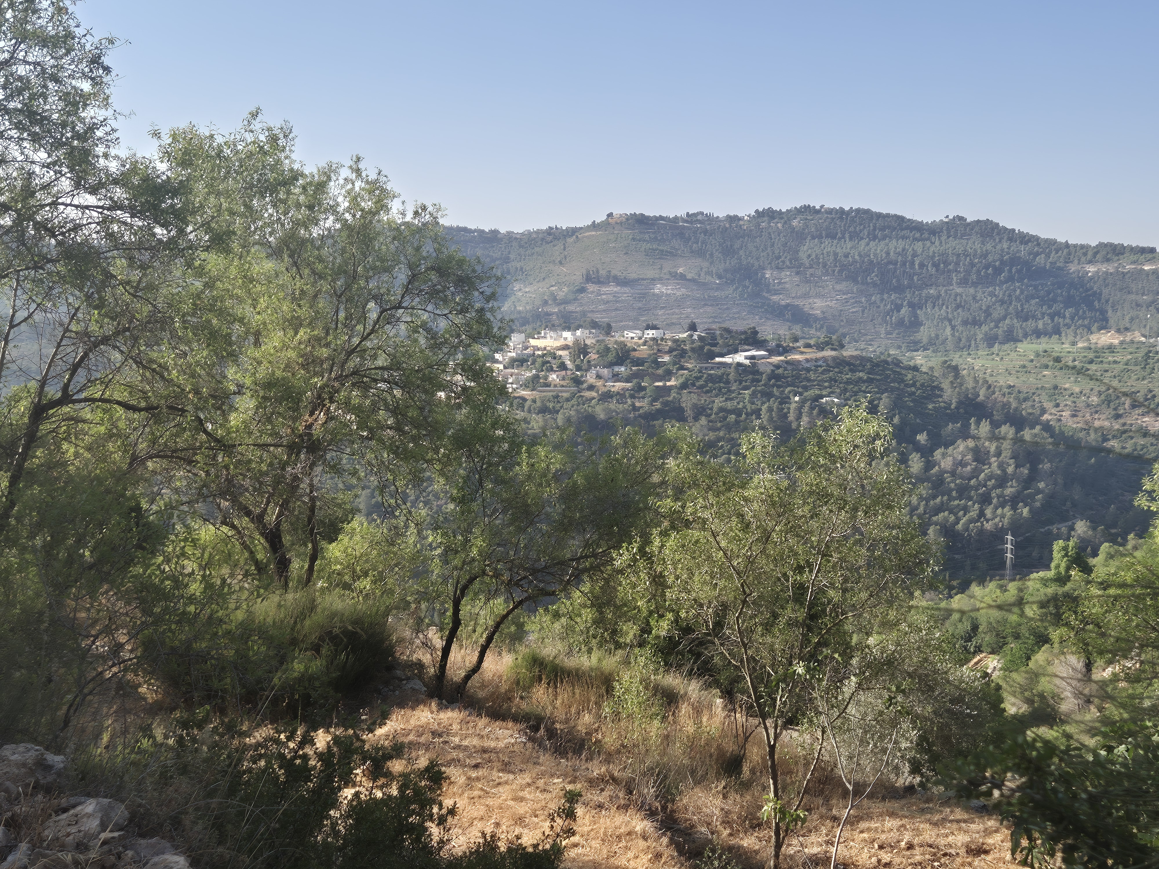
Mount Eitan, one of the highest peaks in the Jerusalem Hills (≈ 800 m / 2,625 ft), lies at the heart of the Sataf Forest and forms part of the mountain chain surrounding the city.
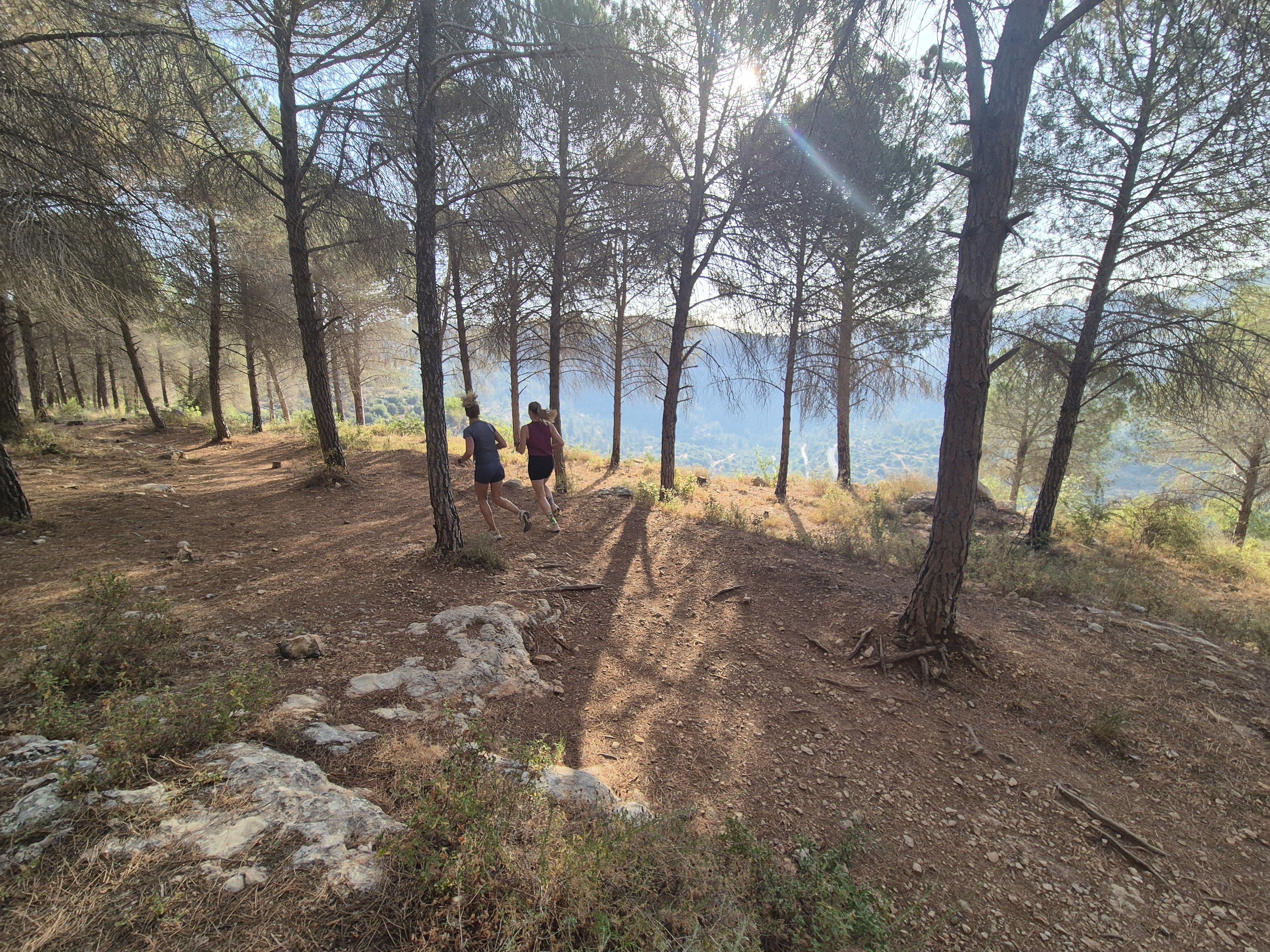
A 7.8 km (4.8 mi) circular dirt track encircles the mountain, offering sweeping views of the Jerusalem range, as well as Nahal Sorek, Nahal Tzova, and other nearby valleys.
🏃♂️ Trail Character
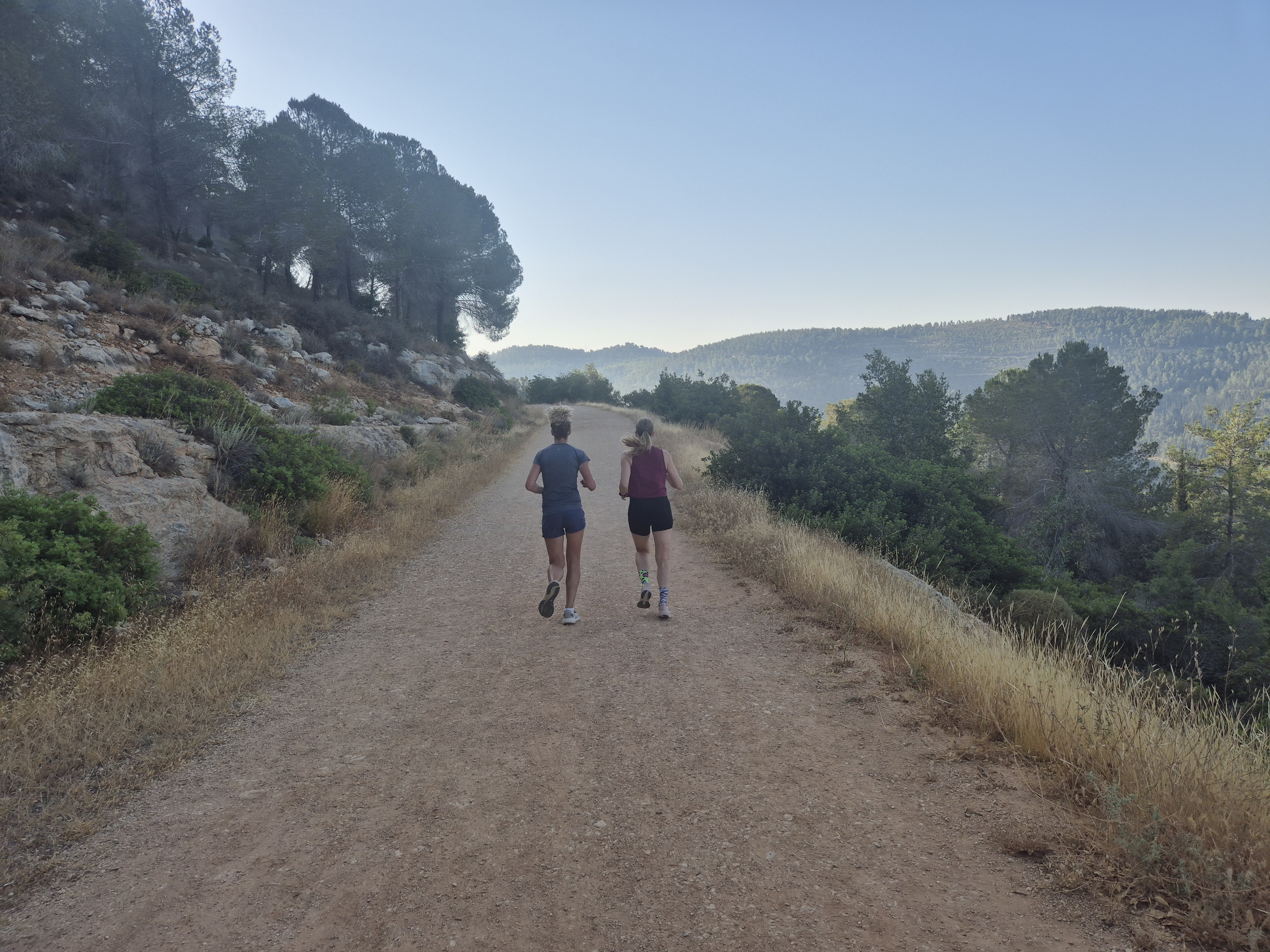
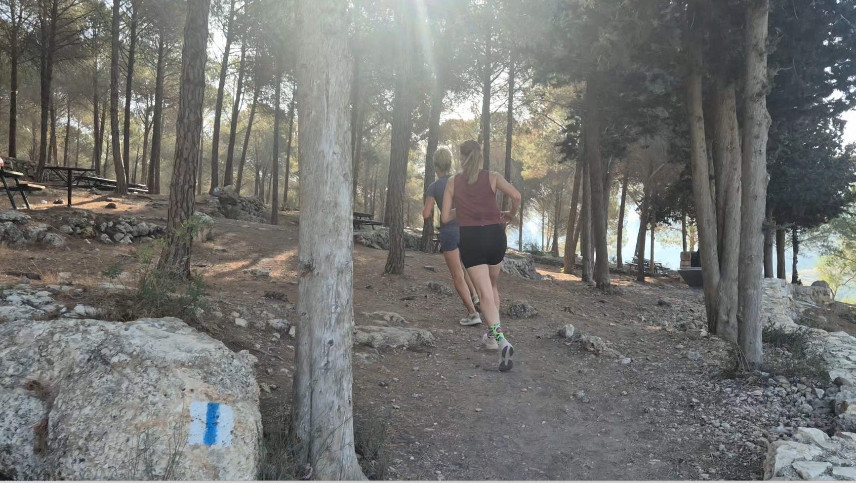
A wide, well-maintained path with gentle climbs and descents that are not especially demanding.
Expect lush scenery, crisp mountain air, and an authentic sense of nature along the way.
No car shuttle needed – the start and finish are at the same spot.
Mount Eitan, one of the highest peaks in the Jerusalem Hills (≈ 800 m / 2,625 ft), lies at the heart of the Sataf Forest and forms part of the mountain chain surrounding the city.
A 7.8 km (4.8 mi) circular dirt track encircles the mountain, offering sweeping views of the Jerusalem range, as well as Nahal Sorek, Nahal Tzova, and other nearby valleys.
🏃♂️ Trail Character
A wide, well-maintained path with gentle climbs and descents that are not especially demanding.
Expect lush scenery, crisp mountain air, and an authentic sense of nature along the way.
No car shuttle needed – the start and finish are at the same spot.

Avenir Light is a clean and stylish font favored by designers. It's easy on the eyes and a great go-to font for titles, paragraphs & more.
Avenir Light is a clean and stylish font favored by designers. It's easy on the eyes and a great go-to font for titles, paragraphs & more.
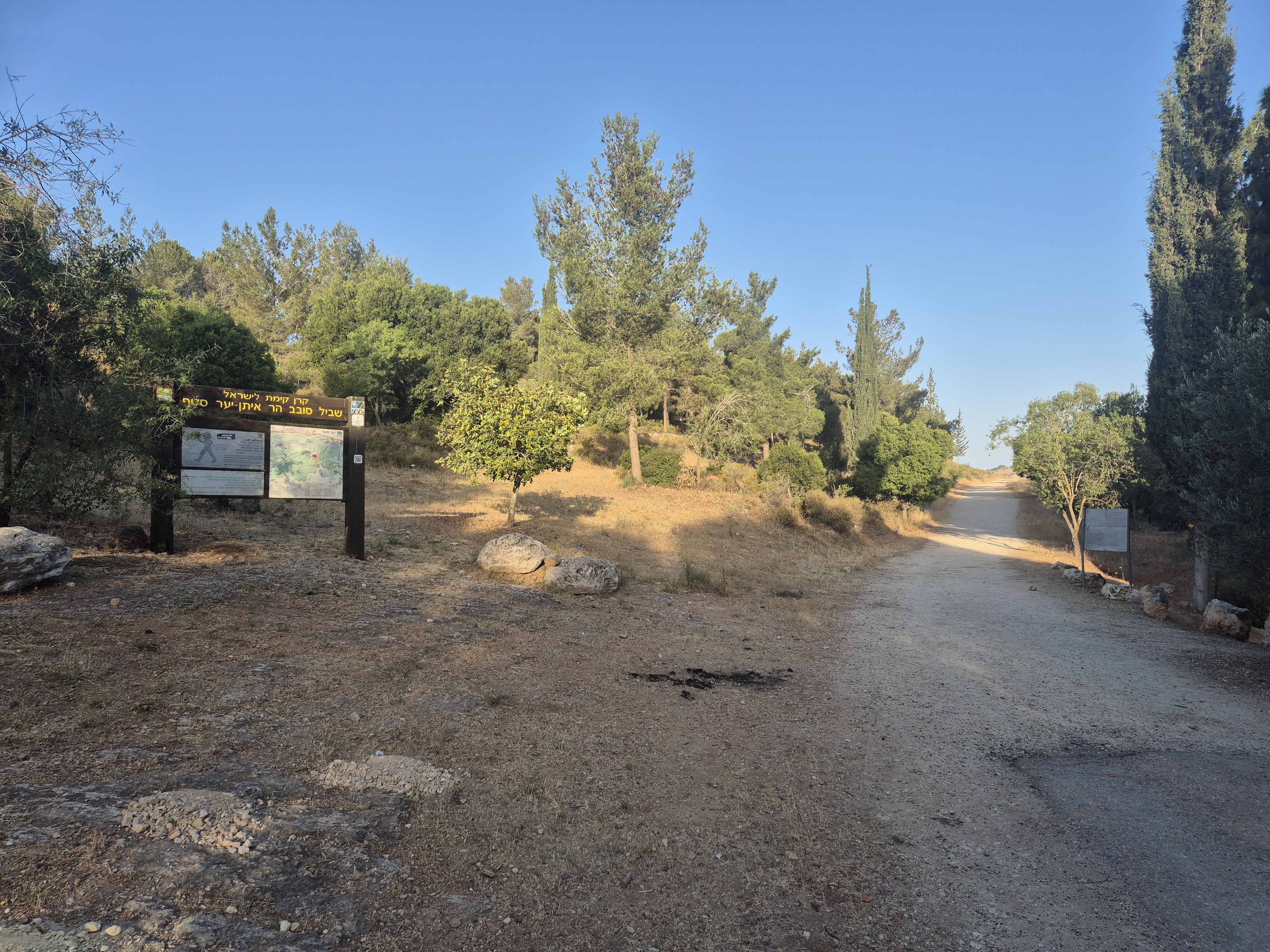
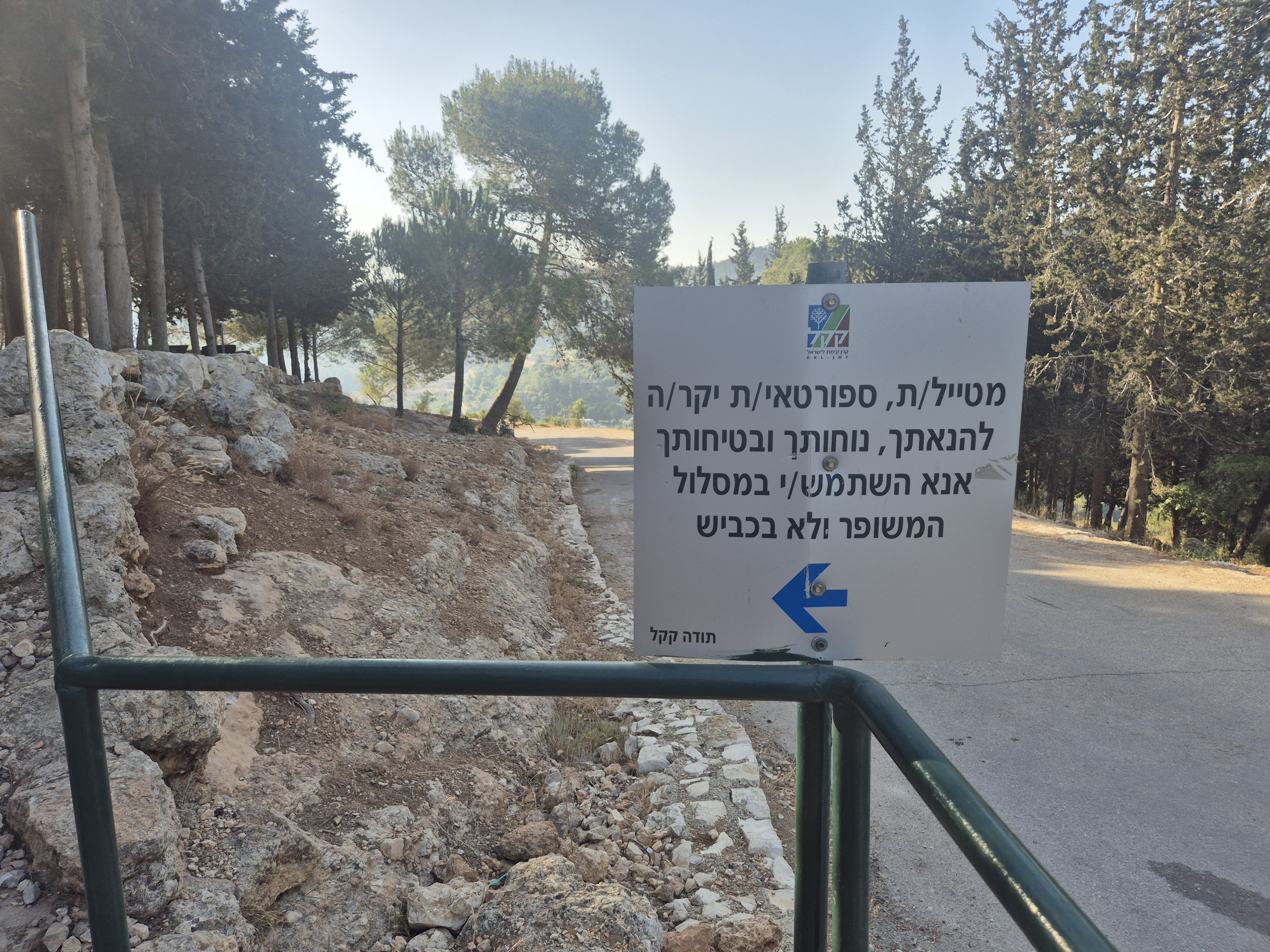
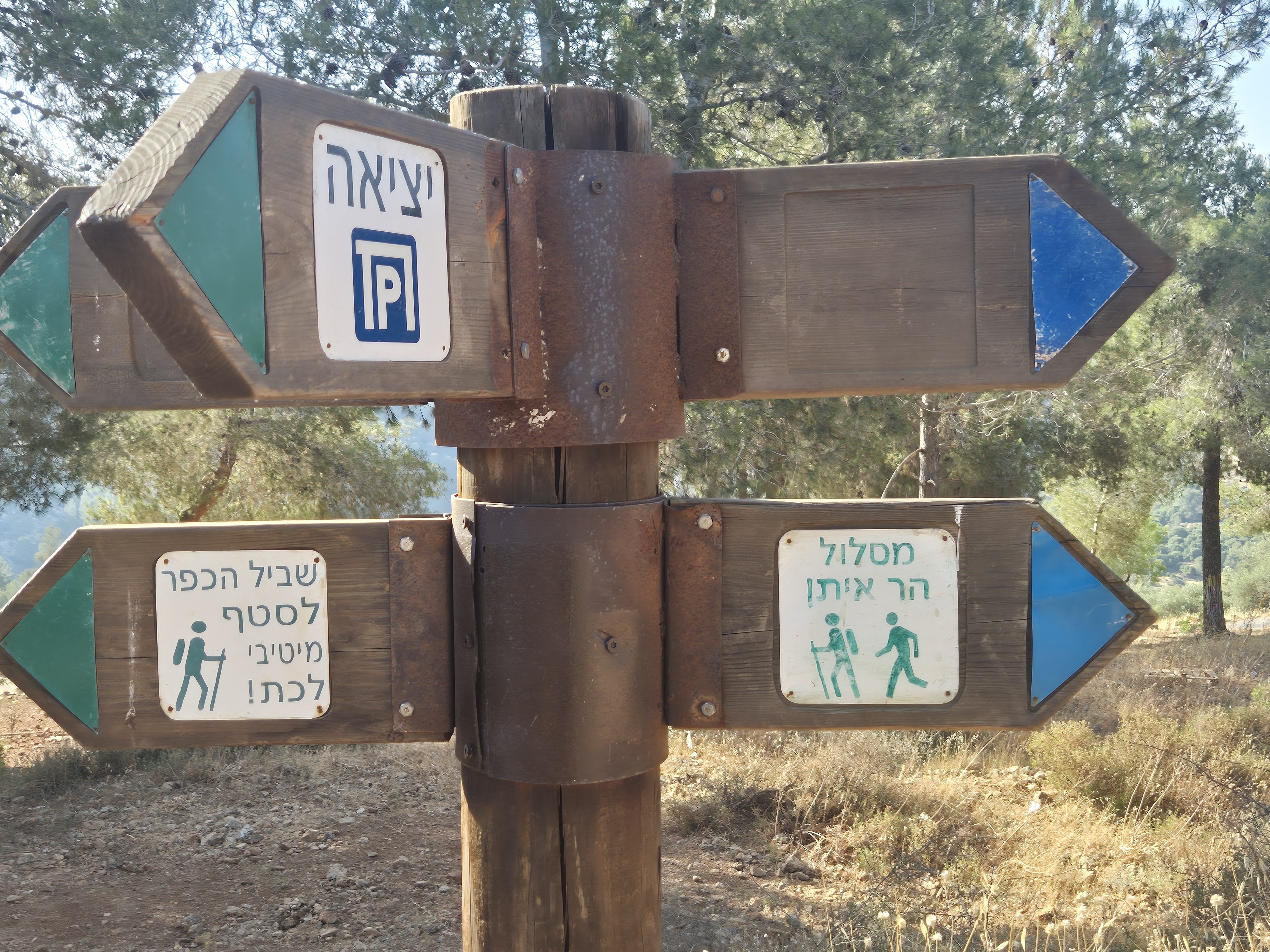
Park in the Upper Sataf lot (enter “Sataf – Upper Parking” in Waze).
Although the loop can be run in either direction, the description below assumes a west-side start above Nahal Tzova.
From the lot, walk back a few dozen metres along the road you arrived on; a short staircase descends to the path that marks the beginning of the loop.
At this point you’ll find a large signboard with a map and route explanation.
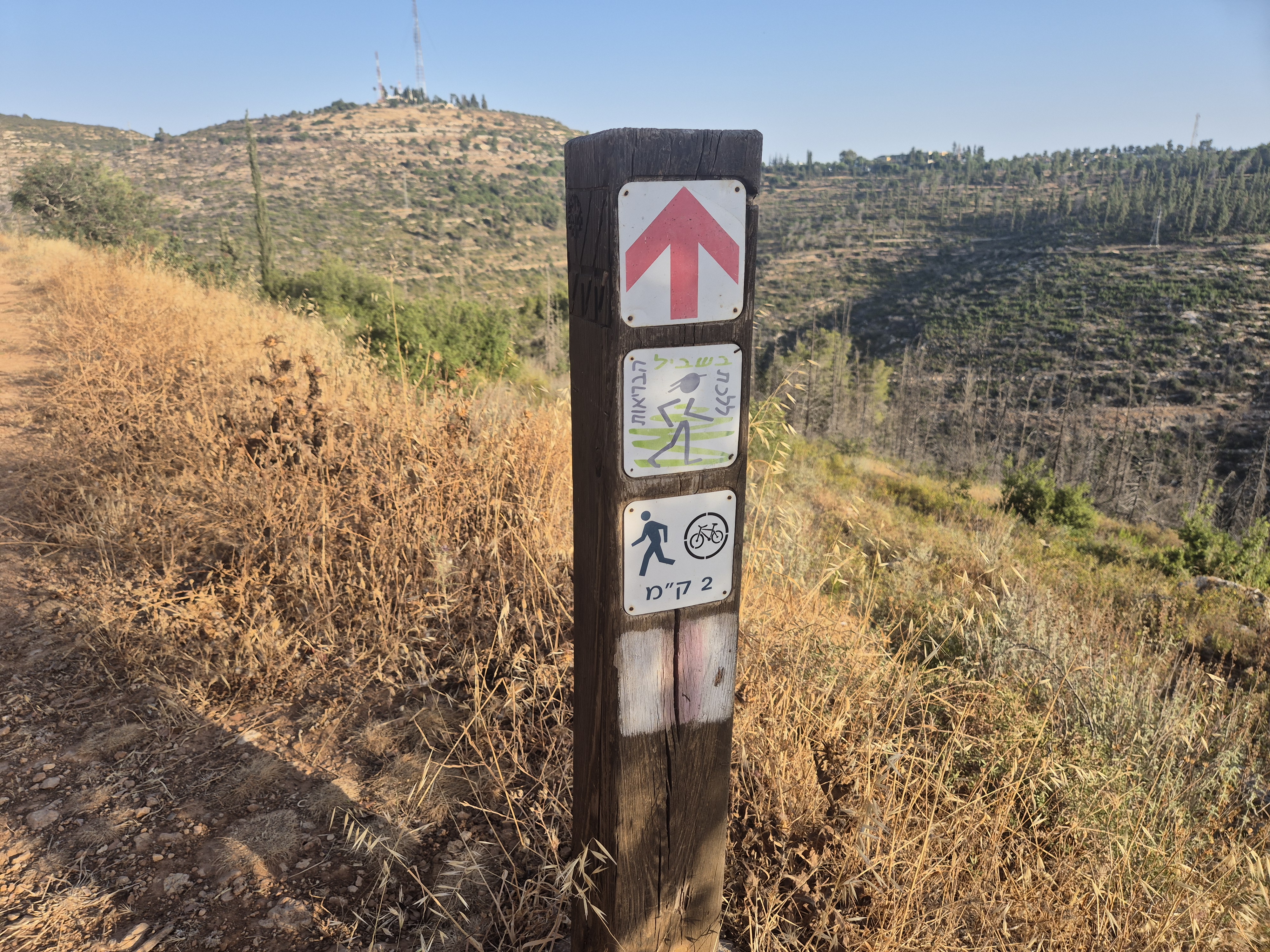
The entire trail is marked with red blazes and clear distance markers from the starting point.
Avenir Light is a clean and stylish font favored by designers. It's easy on the eyes and a great go-to font for titles, paragraphs & more.
Avenir Light is a clean and stylish font favored by designers. It's easy on the eyes and a great go-to font for titles, paragraphs & more.
Avenir Light is a clean and stylish font favored by designers. It's easy on the eyes and a great go-to font for titles, paragraphs & more.
Avenir Light is a clean and stylish font favored by designers. It's easy on the eyes and a great go-to font for titles, paragraphs & more.
Avenir Light is a clean and stylish font favored by designers. It's easy on the eyes and a great go-to font for titles, paragraphs & more.
Avenir Light is a clean and stylish font favored by designers. It's easy on the eyes and a great go-to font for titles, paragraphs & more.
Avenir Light is a clean and stylish font favored by designers. It's easy on the eyes and a great go-to font for titles, paragraphs & more.
Avenir Light is a clean and stylish font favored by designers. It's easy on the eyes and a great go-to font for titles, paragraphs & more.
Avenir Light is a clean and stylish font favored by designers. It's easy on the eyes and a great go-to font for titles, paragraphs & more.
Avenir Light is a clean and stylish font favored by designers. It's easy on the eyes and a great go-to font for titles, paragraphs & more.

A final way-marker points to the parking area about 100 m farther up the path, bringing you full circle to the trail’s starting point.
Avenir Light is a clean and stylish font favored by designers. It's easy on the eyes and a great go-to font for titles, paragraphs & more.
Avenir Light is a clean and stylish font favored by designers. It's easy on the eyes and a great go-to font for titles, paragraphs & more.
Legal Notice
Use at the User’s Own Risk
Use of the Israel Trail Running website and app is entirely at the user's own risk.
The site owners, editors, and contributors do not guarantee the accuracy, completeness, or timeliness of the information presented.
Preparation and Verification
Do not begin any trail without first verifying safety conditions, security guidelines, weather, and terrain status with an official and reliable source.
It is the user's responsibility to verify all information and ensure that the area is open, safe, and not a closed military zone or active fire zone.
Trail Files and Descriptions
Trail descriptions and GPX files are theoretical only.
Some trails include life-threatening sections. Entering a trail is solely at the user's own risk.
Trails may change over time; only some have been field-verified.
Safety and Conduct
Carry appropriate gear and follow all safety rules.
Camping is only permitted in designated overnight campsites marked on official maps.
In nature reserves and national parks, movement is allowed only on foot or by vehicle on marked trails and roads.
No Recommendations
Nothing on this site constitutes a recommendation; the content is for informational purposes only.
The site team bears no responsibility for any damage, injury, or loss resulting from the use of the information.
שימוש באחריות המשתמש בלבד
השימוש באתר ובאפליקציית Israel Trail Running הוא באחריות המשתמש בלבד.
בעלי האתר, העורכים והכותבים אינם מתחייבים לדיוק, שלמות או עדכניות של המידע המוצג.
הכנה ואימות
אין לצאת למסלול מבלי לבדוק תחילה מול מקור מוסמך את תנאי הבטיחות, ההנחיות הביטחוניות, מזג האוויר ומצב השטח.
באחריות המשתמש לאמת את כל המידע ולוודא שהאזור פתוח, בטוח, ואינו שטח צבאי סגור או שטח אש פעיל.
קבצי מסלול ותיאורים
תיאורי המסלולים וקבצי GPX הם תיאורטיים בלבד.
חלק מהמסלולים כוללים קטעים מסכני חיים. היציאה למסלול היא באחריות המשתמש בלבד.
מסלולים עשויים להשתנות עם הזמן; רק חלקם נבדקו בשטח.
בטיחות והתנהלות
יש לשאת ציוד מתאים ולפעול לפי כללי הבטיחות.
לינה בשטח מותרת רק בחניוני לילה מוסדרים המסומנים במפות הרשמיות.
בשמורות טבע וגנים לאומיים מותר לנוע רק ברגל או ברכב בשבילים ובדרכים מסומנים.
אין המלצות
שום דבר באתר זה אינו מהווה המלצה; התוכן נועד למטרות מידע בלבד.
צוות האתר אינו נושא באחריות לכל נזק, פציעה או אובדן שייגרמו כתוצאה מהשימוש במידע.