
Hasharon Trail - Alexander River
Lowest point
Cumulative Ascent
Trail Type
One Way
Highest point
חד כיווני
48
Distance
15.1 km, 9.38 miles.
Difficulty Level
1/4


30
0
Cumulative Descent
Navigation File
20
Starting Point
End Point
Vicker Observation
מצפור ויקר
Michmoret
חניית שפך נחל אלכסנדר
Recommended Season
All Seasons
During the summer months, it is recommended to start the trail in the early morning hours, before temperatures rise — or alternatively, in the late afternoon when the weather becomes more pleasant.
Note: Most of the trail is fully exposed to the sun with little to no shade, so it’s important to come prepared — with water, a hat, sunscreen, and appropriate clothing.
Trail Description
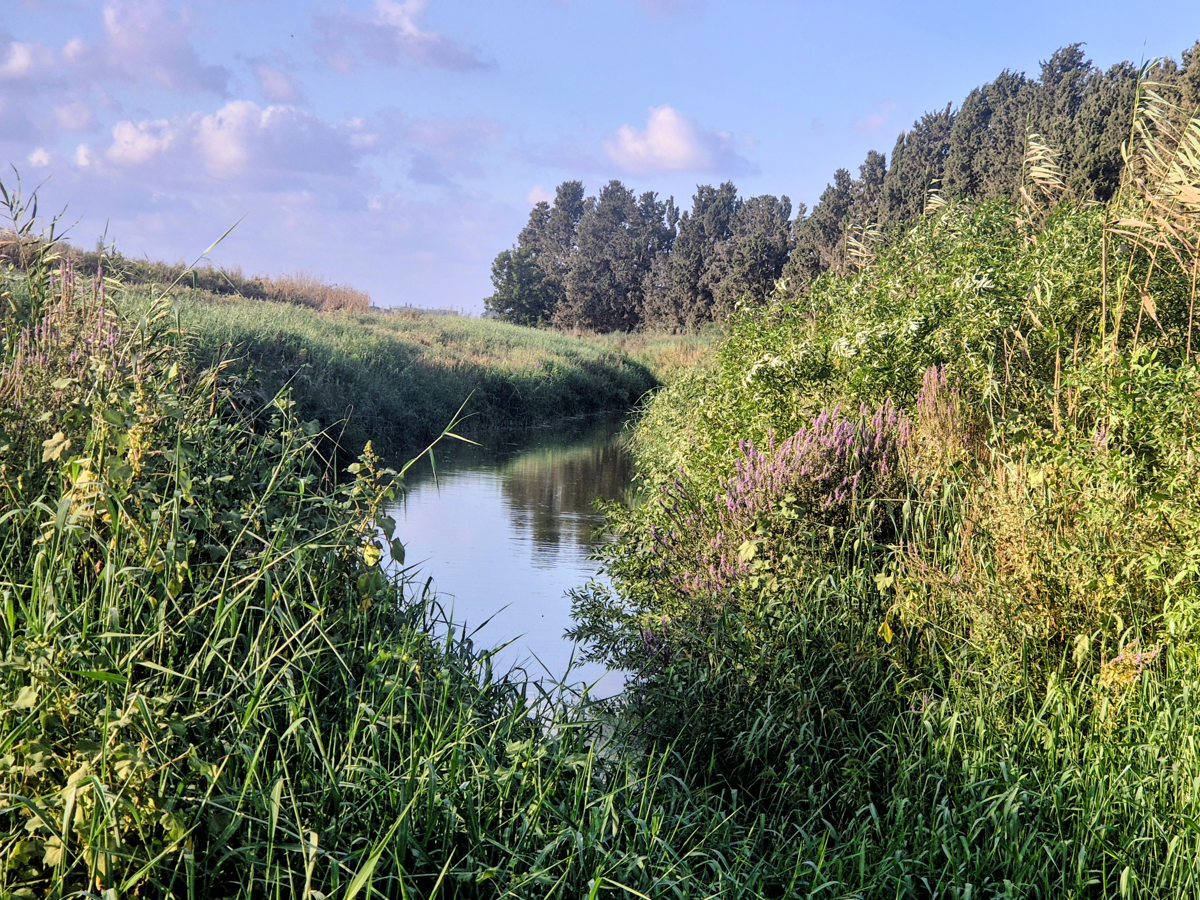
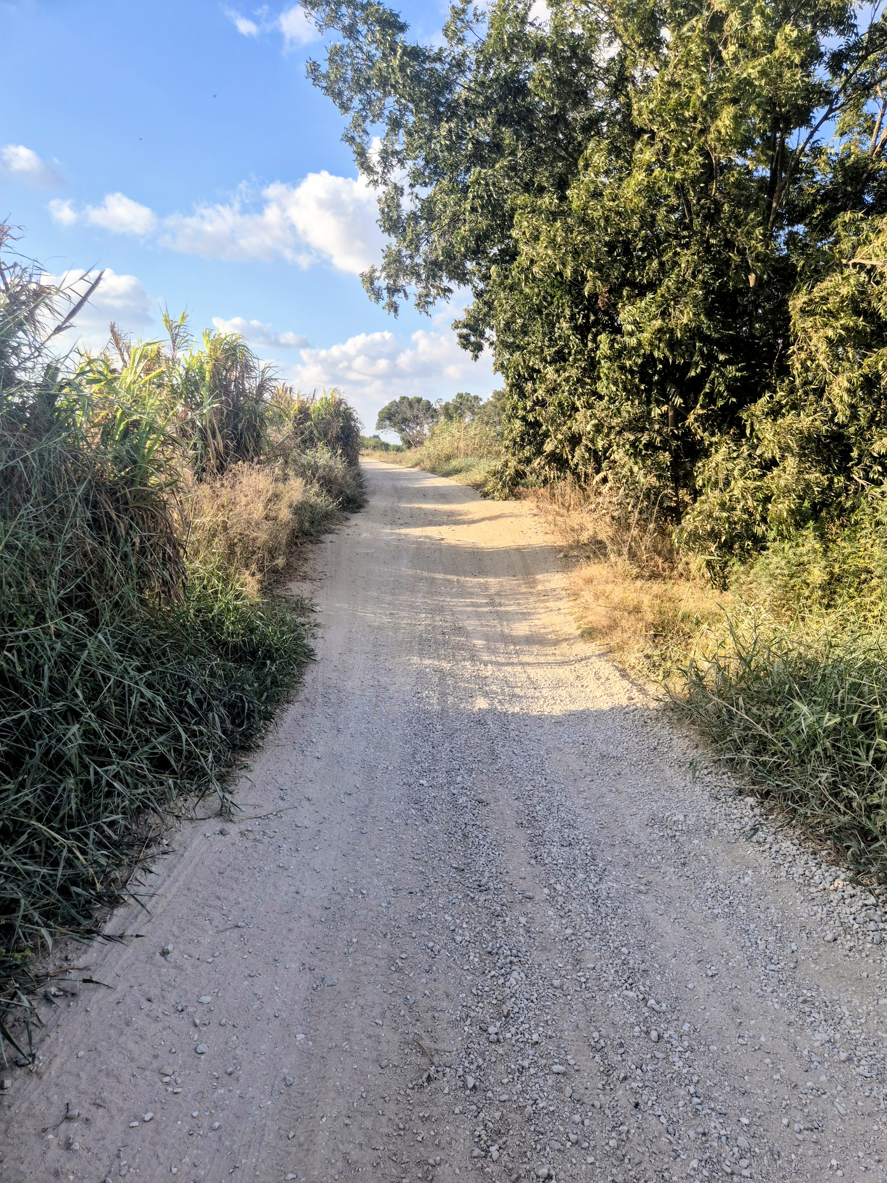
The trail begins at Viker Lookout, offering a scenic view of the Mishmar HaSharon Reservoir. From there, we run westward along Alexander Stream, following Emek Trail – a wide white gravel path, comfortable for running, passing through open fields, eucalyptus trees, citrus groves, cotton fields, and orchards.
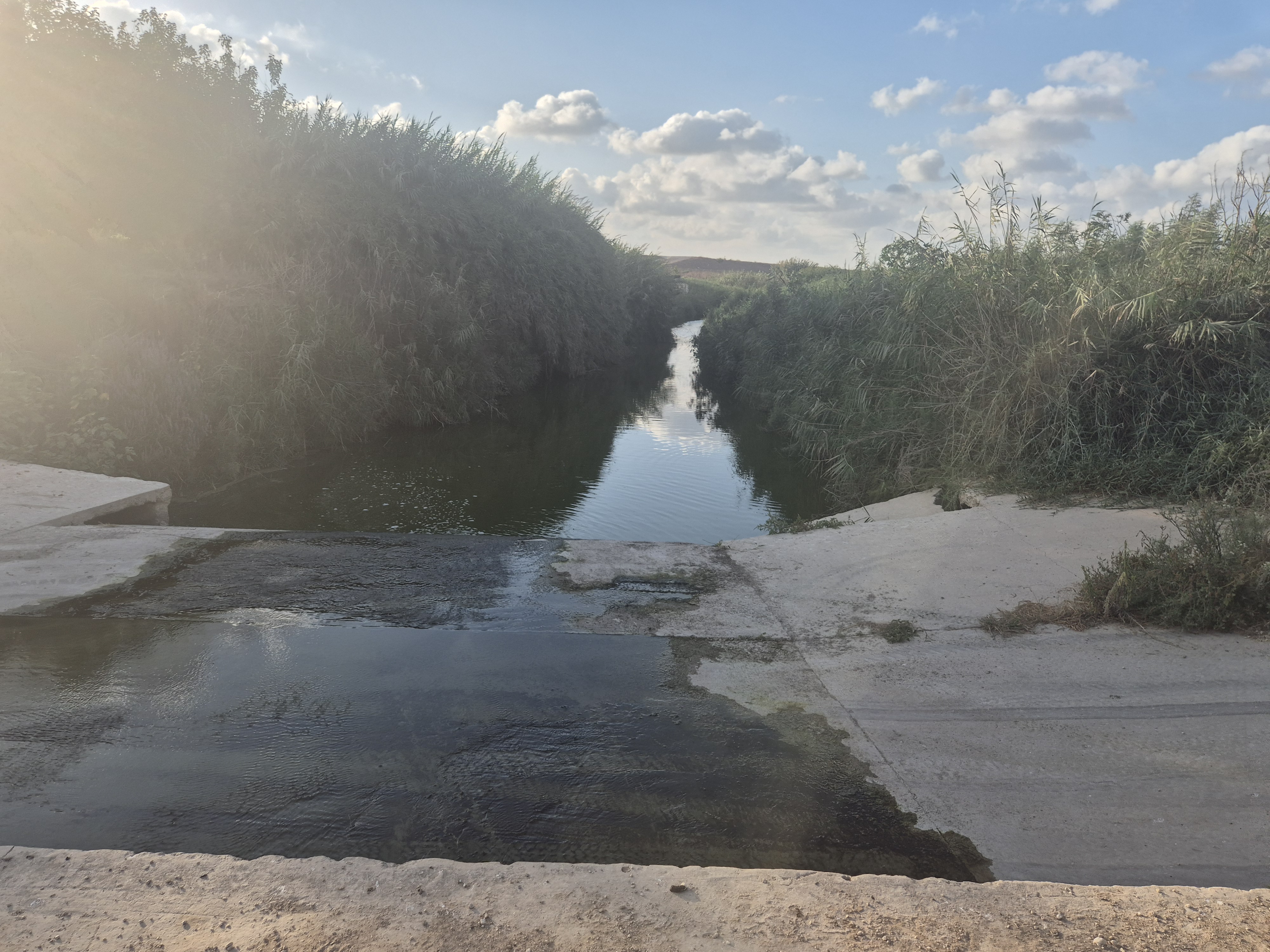
Up to Ma’abarot Kibbutz, the path is mostly white gravel. After that, it connects to a well-maintained promenade. Upon reaching the Alexander Stream Nature Reserve, the trail becomes a dirt road, partially forested, and continues all the way to the stream’s estuary and the Mediterranean beach.
Along the route, several bridges cross Alexander Stream, and the entire trail is clearly marked and easy to navigate. There are no road crossings, making it especially safe and pleasant.
The trail begins at Viker Lookout, offering a scenic view of the Mishmar HaSharon Reservoir. From there, we run westward along Alexander Stream, following Emek Trail – a wide white gravel path, comfortable for running, passing through open fields, eucalyptus trees, citrus groves, cotton fields, and orchards.
Up to Ma’abarot Kibbutz, the path is mostly white gravel. After that, it connects to a well-maintained promenade. Upon reaching the Alexander Stream Nature Reserve, the trail becomes a dirt road, partially forested, and continues all the way to the stream’s estuary and the Mediterranean beach.
Along the route, several bridges cross Alexander Stream, and the entire trail is clearly marked and easy to navigate. There are no road crossings, making it especially safe and pleasant.

Avenir Light is a clean and stylish font favored by designers. It's easy on the eyes and a great go-to font for titles, paragraphs & more.
Avenir Light is a clean and stylish font favored by designers. It's easy on the eyes and a great go-to font for titles, paragraphs & more.
Avenir Light is a clean and stylish font favored by designers. It's easy on the eyes and a great go-to font for titles, paragraphs & more.
Avenir Light is a clean and stylish font favored by designers. It's easy on the eyes and a great go-to font for titles, paragraphs & more.

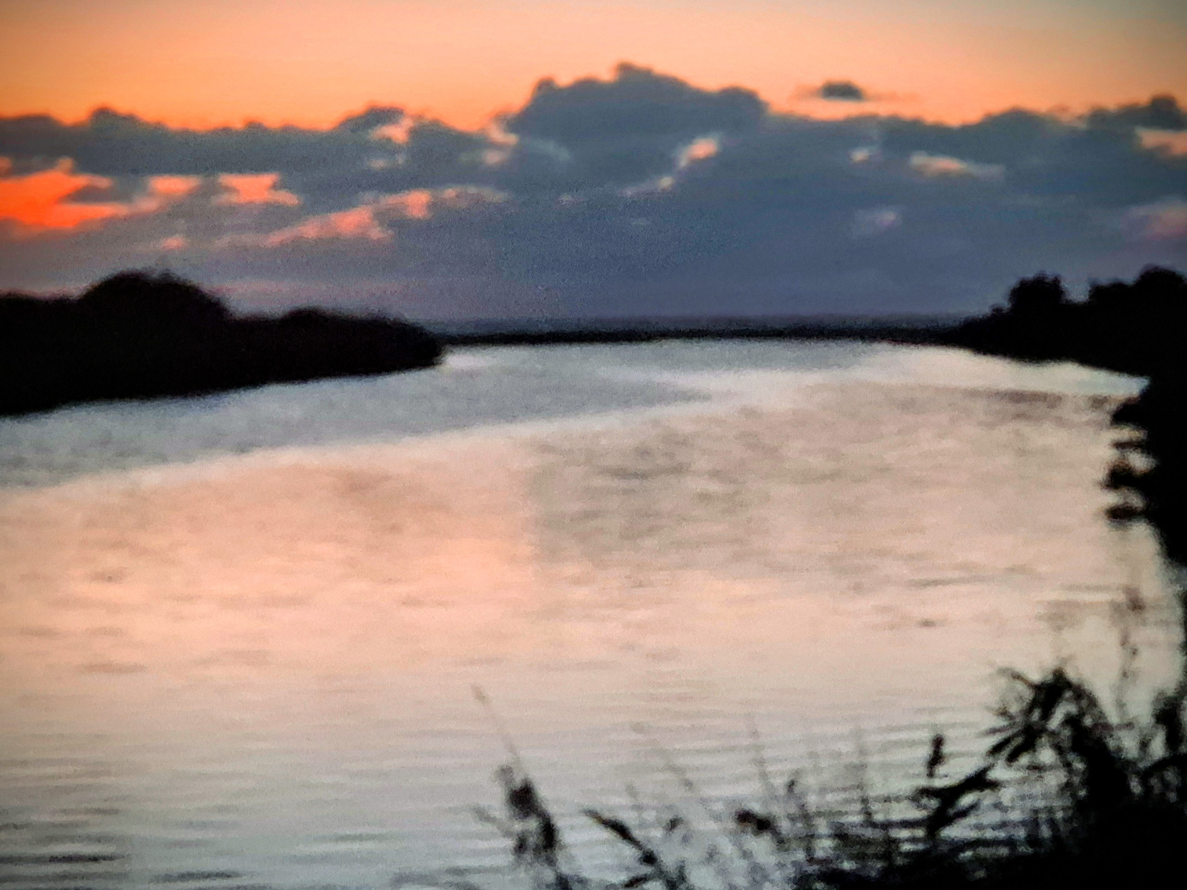
Follow this marked trail all the way to the end, where it reaches the Mediterranean Sea.

There are multiple bridges that cross the Alexander River along the trail.
Avenir Light is a clean and stylish font favored by designers. It's easy on the eyes and a great go-to font for titles, paragraphs & more.
Avenir Light is a clean and stylish font favored by designers. It's easy on the eyes and a great go-to font for titles, paragraphs & more.
Avenir Light is a clean and stylish font favored by designers. It's easy on the eyes and a great go-to font for titles, paragraphs & more.
Avenir Light is a clean and stylish font favored by designers. It's easy on the eyes and a great go-to font for titles, paragraphs & more.
About 3 km before the end of the trail (approximately 12 km from the starting point, near the Turtle Bridge), the route joins the Israel National Trail — marked in orange, blue, and white — which continues all the way to the Mediterranean Sea.
Legal Notice
Use at the User’s Own Risk
Use of the Israel Trail Running website and app is entirely at the user's own risk.
The site owners, editors, and contributors do not guarantee the accuracy, completeness, or timeliness of the information presented.
Preparation and Verification
Do not begin any trail without first verifying safety conditions, security guidelines, weather, and terrain status with an official and reliable source.
It is the user's responsibility to verify all information and ensure that the area is open, safe, and not a closed military zone or active fire zone.
Trail Files and Descriptions
Trail descriptions and GPX files are theoretical only.
Some trails include life-threatening sections. Entering a trail is solely at the user's own risk.
Trails may change over time; only some have been field-verified.
Safety and Conduct
Carry appropriate gear and follow all safety rules.
Camping is only permitted in designated overnight campsites marked on official maps.
In nature reserves and national parks, movement is allowed only on foot or by vehicle on marked trails and roads.
No Recommendations
Nothing on this site constitutes a recommendation; the content is for informational purposes only.
The site team bears no responsibility for any damage, injury, or loss resulting from the use of the information.
שימוש באחריות המשתמש בלבד
השימוש באתר ובאפליקציית Israel Trail Running הוא באחריות המשתמש בלבד.
בעלי האתר, העורכים והכותבים אינם מתחייבים לדיוק, שלמות או עדכניות של המידע המוצג.
הכנה ואימות
אין לצאת למסלול מבלי לבדוק תחילה מול מקור מוסמך את תנאי הבטיחות, ההנחיות הביטחוניות, מזג האוויר ומצב השטח.
באחריות המשתמש לאמת את כל המידע ולוודא שהאזור פתוח, בטוח, ואינו שטח צבאי סגור או שטח אש פעיל.
קבצי מסלול ותיאורים
תיאורי המסלולים וקבצי GPX הם תיאורטיים בלבד.
חלק מהמסלולים כוללים קטעים מסכני חיים. היציאה למסלול היא באחריות המשתמש בלבד.
מסלולים עשויים להשתנות עם הזמן; רק חלקם נבדקו בשטח.
בטיחות והתנהלות
יש לשאת ציוד מתאים ולפעול לפי כללי הבטיחות.
לינה בשטח מותרת רק בחניוני לילה מוסדרים המסומנים במפות הרשמיות.
בשמורות טבע וגנים לאומיים מותר לנוע רק ברגל או ברכב בשבילים ובדרכים מסומנים.
אין המלצות
שום דבר באתר זה אינו מהווה המלצה; התוכן נועד למטרות מידע בלבד.
צוות האתר אינו נושא באחריות לכל נזק, פציעה או אובדן שייגרמו כתוצאה מהשימוש במידע.